UN/LOCODE hub · United States
USMAH
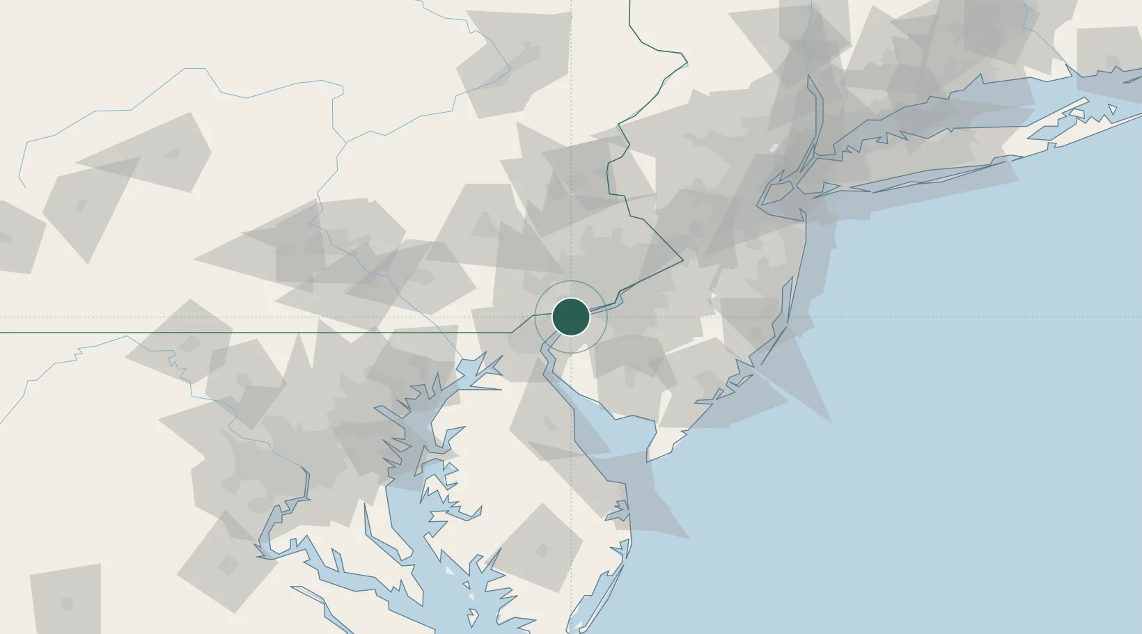
Marcus Hook
39.8167°, -75.4167°
2,397
Population
2
Transport functions
Transport Functions
Port
Road
Hub Profile
Place type
Populated place
Region
Pennsylvania
Population
2,397
Time zone
America/New_York
Elevation
9 m
Location
Nearby Logistics Neighbours
Cities
- 1Prospect5 km
- 2Logan Township7 km
- 3Lenni8 km
- 4Concordville11 km
- 5Township of Woolwich12 km
Ports
- 1Chester7 km
- 2Wilmington15 km
- 3Paulsboro15 km
- 4Deepwater Point16 km
- 5Salem Nj18 km
Airports
Trade Zones
DatabookThe Record of Consolidated Knowledge
United States beyond logistics?