Transport Functions
Rail
Road
Multimodal
Hub Profile
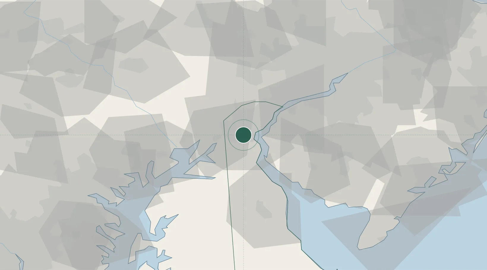
Place type
Populated place
Region
Delaware
Population
19,371
Time zone
America/New_York
Elevation
21 m
Location
Nearby Logistics Neighbours
Cities
- 1Delaware City10 km
- 2Wilmington15 km
- 3Chesapeake City17 km
- 4Winterthur19 km
- 5Mannington Mills19 km
Ports
- 1New Castle9 km
- 2Deepwater Point15 km
- 3Wilmington15 km
- 4Salem Nj16 km
- 5Marcus Hook30 km
Airports
Trade Zones
- 1FTZ No. 099 Wilmington16 km
- 2FTZ No. 035 Philadelphia54 km
- 3FTZ No. 142 Salem Millville54 km
- 4FTZ No. 074 Baltimore90 km
- 5FTZ No. 073 BWI Airport100 km
DatabookThe Record of Consolidated Knowledge
United States beyond logistics?