Channel & Berth Profile
Pilotage, Tugs & Services
Pilotage compulsoryYES
MedicalYES
Facilities & Capabilities
Container—
Ro-Ro—
Liquid bulk—
Dry bulk—
Oil terminal—
Break bulk—
Dry dock—
Repairs—
Bunkering—
Rail linkYES
Dangerous cargo—
ISPS security—
Harbour Specifications
Harbour size
Very Small
Harbour type
River (Natural)
Shelter
Good
Water body
North Atlantic Ocean
Tidal range
1.8 m
Overhead limit
Yes
Pilotage
Yes
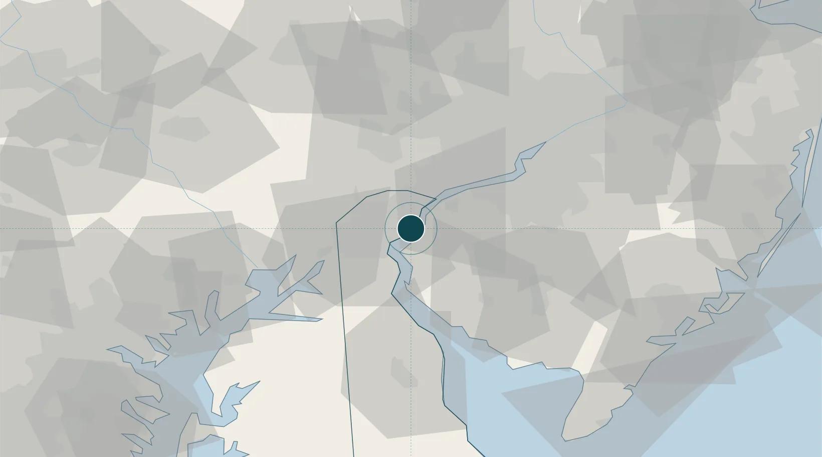
Location
Nearby Logistics Neighbours
Ports
- 1Wilmington5 km
- 2Salem Nj5 km
- 3New Castle7 km
- 4Marcus Hook16 km
- 5Chester22 km
Cities
- 1Wilmington2 km
- 2Winterthur14 km
- 3Mannington Mills14 km
- 4Bear15 km
- 5Marcus Hook16 km
Airports
Trade Zones
DatabookThe Record of Consolidated Knowledge
United States beyond logistics?