Foreign Trade Zone · United States

FTZ No. 147 Berks County Active
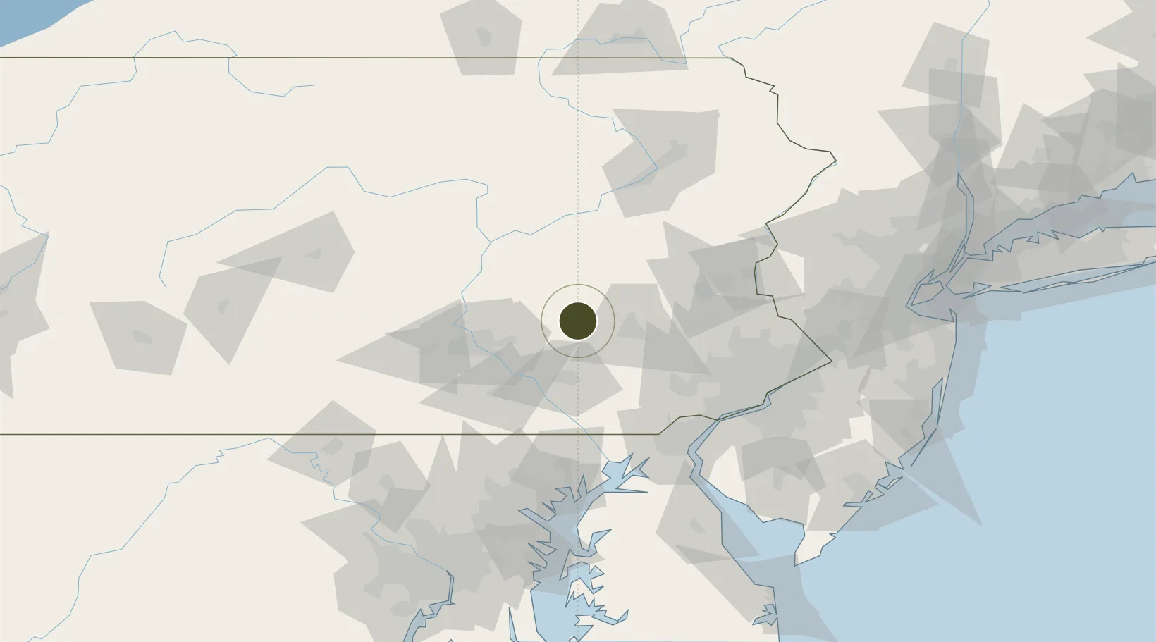
40.4070°, -76.2651°
96.5 km
Nearest port
25.6 km
Nearest airport

Gateway access

Nearest neighbours — logibook spatial index (haversine) over the source coordinates

Zone profile

Zone type
Foreign Trade Zone
Open Zone Map
Region
Pennsylvania
Open Zone Map
Status
Active
Open Zone Map
Management
Public-Private Partnership
Open Zone Map
Operator
FTZ Corp. of Southern Pennsylvania
Open Zone Map
Legal framework
Foreign-Trade Zones Act
Open Zone Map

Location

Location of ozm-4918
Natural Earth 10m (public domain) · Pennsylvania · ozm-4918 · 40.41, -76.27GoogleOSMYandex

Nearby Logistics Neighbours

Ports
  1. 1Wilmington97 km
  2. 2Marcus Hook98 km
  3. 3Havre De Grace98 km
  4. 4Chester99 km
  5. 5Deepwater Point101 km
Nearest neighbours — logibook spatial index (haversine) over the source coordinates
Airports
  1. 1Reading Regional Airport (Carl A Spaatz Field)26 km
  2. 2Muir Army Air Field (Fort Indiantown Gap) Airport26 km
  3. 3Lancaster Airport32 km
  4. 4Harrisburg International Airport48 km
  5. 5Lehigh Valley International Airport75 km
Nearest neighbours — logibook spatial index (haversine) over the source coordinates
Cities
  1. 1Myerstown5 km
  2. 2Schaefferstown14 km
  3. 3Moonstown14 km
  4. 4Wernersville17 km
  5. 5Stevens24 km
Nearest neighbours — logibook spatial index (haversine) over the source coordinates
Trade Zones
  1. 1FTZ No. 272 Counties of Lehigh and Northampton54 km
  2. 2FTZ No. 099 Wilmington96 km
  3. 3FTZ No. 035 Philadelphia97 km
  4. 4FTZ No. 024 Pittston109 km
  5. 5FTZ No. 200 Mercer County121 km
Nearest neighbours — logibook spatial index (haversine) over the source coordinates
DatabookThe Record of Consolidated Knowledge
United States beyond logistics?
Browse databook

All Sources

Trade ZonesOpen Zone Map
CC BY
Portsthe NGA World Port Index
Public domain (US gov)
AirportsOurAirports
Public domain
LocationsUN/LOCODE
UN/LOCODE — free
← United States trade zones