Transport Functions
Rail
Road
Multimodal
Hub Profile
Place type
Populated place
Region
New Jersey
Time zone
America/New_York
Elevation
3 m
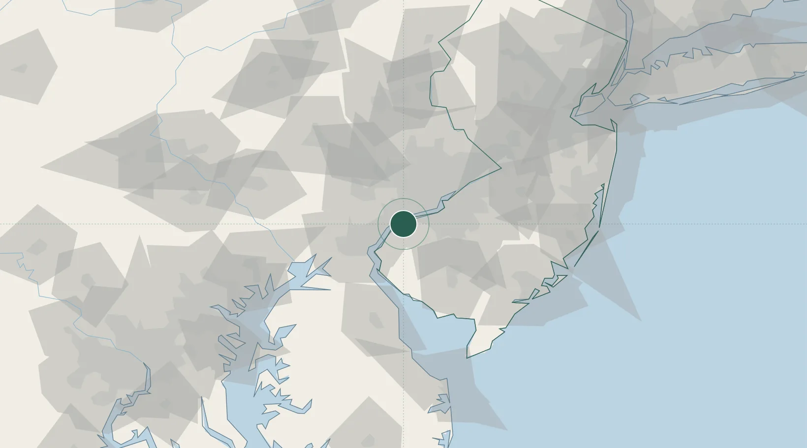
Location
Nearby Logistics Neighbours
Cities
- 1Logan Township2 km
- 2Marcus Hook5 km
- 3Township of Woolwich8 km
- 4Lenni11 km
- 5Norwood11 km
Ports
- 1Marcus Hook5 km
- 2Chester6 km
- 3Paulsboro11 km
- 4Deepwater Point17 km
- 5Wilmington17 km
Airports
Trade Zones
- 1FTZ No. 099 Wilmington17 km
- 2FTZ No. 035 Philadelphia24 km
- 3FTZ No. 142 Salem Millville50 km
- 4FTZ No. 200 Mercer County69 km
- 5FTZ No. 235 Lakewood101 km
DatabookThe Record of Consolidated Knowledge
United States beyond logistics?