Large airport · United States
Philadelphia International AirportKPHL
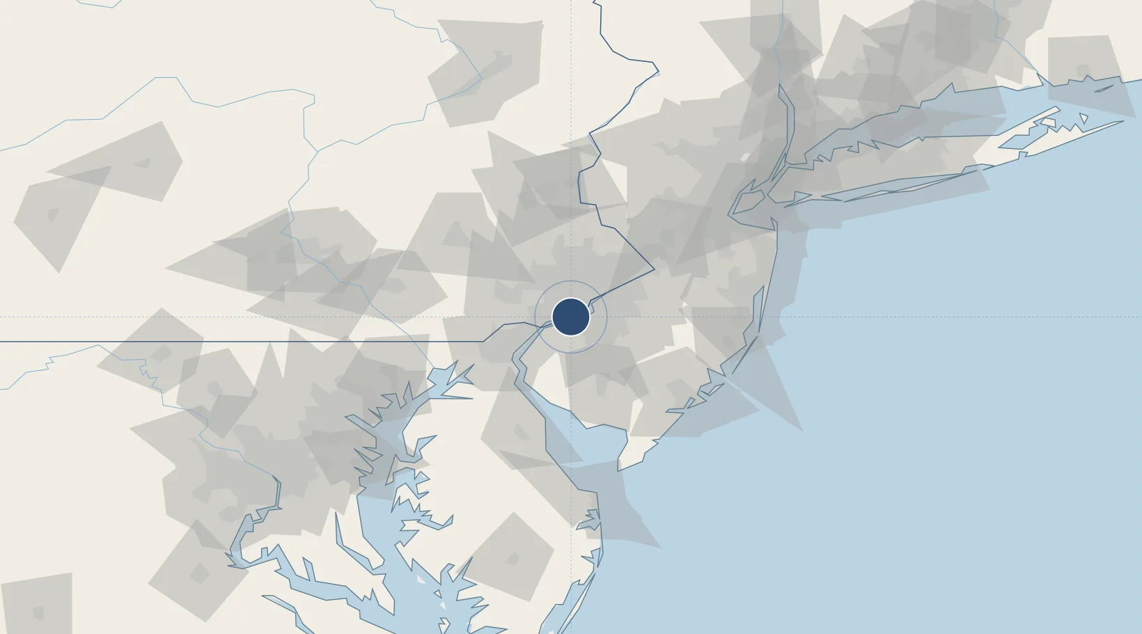
39.8719°, -75.2411°
12,000 ft
Longest runway
4
Runways
36 ft
Elevation
Runway & Layout

Radio Frequencies
ATIS
133.4 MHz
TWR
118.5 MHz
GND
121.9 MHz
CLD
118.85 MHz
CLNC DEL
APP
123.8 MHz
DEP
119.75 MHz
ARR
120.425 MHz
PRM
UNIC
122.95 MHz
UNICOM
Navaids
PD NDB Speez 222 kHz
Runways · 4
| Runway | Dimensions | Surface | True heading | Lit |
|---|---|---|---|---|
| 09R/27L | 12,000 × 200ft | Asphalt | 076° | ✓ |
| 09L/27R | 9,500 × 150ft | Asphalt | 076° | ✓ |
| 17/35 | 6,500 × 150ft | Asphalt | 159° | ✓ |
| 08/26 | 5,001 × 150ft | Asphalt | 076° | ✓ |
Airport Specifications
IATA code
PHL
ICAO code
KPHL
Airport class
Large airport
Scheduled service
Yes
Runway surface
Asphalt
Served city
Philadelphia
Location
Nearby Logistics Neighbours
Airports
- 1Northeast Philadelphia Airport31 km
- 2Wilmington Airport38 km
- 3Mc Guire Air Force Base58 km
- 4Trenton Mercer Airport58 km
- 5Millville Municipal Airport58 km
Cities
- 1Norwood5 km
- 2Prospect Park5 km
- 3Secane7 km
- 4Lansdowne7 km
- 5Gloucester City10 km
Ports
- 1Paulsboro3 km
- 2Chester10 km
- 3Gloucester10 km
- 4Philadelphia13 km
- 5Camden13 km
Trade Zones
- 1FTZ No. 035 Philadelphia15 km
- 2FTZ No. 099 Wilmington30 km
- 3FTZ No. 142 Salem Millville55 km
- 4FTZ No. 200 Mercer County56 km
- 5FTZ No. 235 Lakewood88 km
DatabookThe Record of Consolidated Knowledge
United States beyond logistics?