Medium airport · United States

Phillips Army Air FieldKAPG
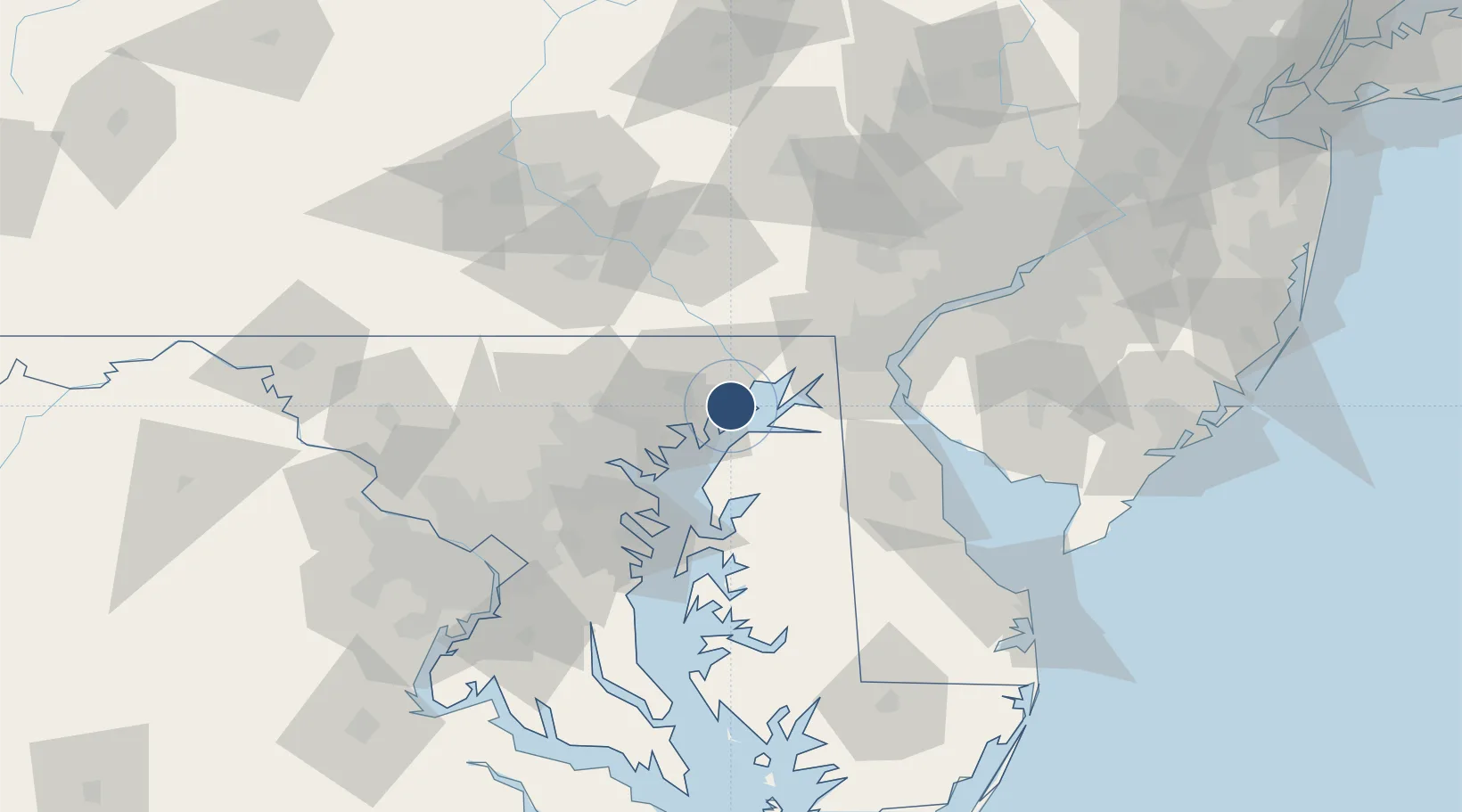
39.4662°, -76.1688°
7,998 ft
Longest runway
1
Runways
57 ft
Elevation

Runway & Layout

Phillips Army Air Field runway & taxiway layout
Runway & taxiway layout — OpenStreetMap (ODbL) / OurAirports

Radio Frequencies

ATIS
108.4 MHz
TWR
126.15 MHz
GND
121.9 MHz
A/D
126.75 MHz
POTOMAC APP/DEP
OurAirports

Navaids

APG NDB Aberdeen 349 kHz
PPM VOR-DME Phillips 108.40 MHz
OurAirports

Runways · 1

RunwayDimensions SurfaceTrue headingLit
04/22 7,998 × 200ft Asphalt 028°
OurAirports

Airport Specifications

IATA code
APG
OurAirports
ICAO code
KAPG
OurAirports
Airport class
Medium airport
OurAirports
Scheduled service
No
OurAirports
Runway surface
Asphalt
OurAirports
Served city
Aberdeen
OurAirports

Location

Location of KAPG
Natural Earth 10m (public domain) · Maryland · KAPG · 39.47, -76.17GoogleOSMYandex

Nearby Logistics Neighbours

Airports
  1. 1Martin State Airport26 km
  2. 2Wilmington Airport54 km
  3. 3Baltimore/Washington International Thurgood Marshall Airport54 km
  4. 4Fort Meade Executive Airport66 km
  5. 5Dover Civil Air Terminal/Dover Air Force Base71 km
Nearest neighbours — logibook spatial index (haversine) over the source coordinates
Cities
  1. 1Perryman3 km
  2. 2Belcamp6 km
  3. 3Perryville14 km
  4. 4North East22 km
  5. 5White Marsh22 km
Nearest neighbours — logibook spatial index (haversine) over the source coordinates
Ports
  1. 1Havre De Grace11 km
  2. 2Baltimore42 km
  3. 3New Castle56 km
  4. 4Annapolis60 km
  5. 5Wilmington61 km
Nearest neighbours — logibook spatial index (haversine) over the source coordinates
Trade Zones
  1. 1FTZ No. 074 Baltimore43 km
  2. 2FTZ No. 073 BWI Airport54 km
  3. 3FTZ No. 099 Wilmington62 km
  4. 4FTZ No. 142 Salem Millville91 km
  5. 5FTZ No. 035 Philadelphia98 km
Nearest neighbours — logibook spatial index (haversine) over the source coordinates
DatabookThe Record of Consolidated Knowledge
United States beyond logistics?
Browse databook

All Sources

AirportsOurAirports
Public domain
Portsthe NGA World Port Index
Public domain (US gov)
LocationsUN/LOCODE
UN/LOCODE — free
Trade Zonesthe World Bank SEZ database
CC BY 4.0
Trade ZonesOpen Zone Map
CC BY
InfrastructureOpenStreetMap
ODbL 1.0
← United States airports