Channel & Berth Profile
Pilotage, Tugs & Services
Pilotage compulsoryYES
Salvage tugsYES
Shore powerYES
Potable waterYES
Diesel bunkersYES
MedicalYES
Garbage disposalYES
Facilities & Capabilities
Container—
Ro-Ro—
Liquid bulk—
Dry bulk—
Oil terminal—
Break bulk—
Dry dock—
RepairsNO
BunkeringYES
Rail linkYES
Dangerous cargo—
ISPS security—
Harbour Specifications
Harbour size
Very Small
Harbour type
River (Natural)
Shelter
Excellent
Water body
North Atlantic Ocean
Tidal range
1.8 m
Overhead limit
Yes
Pilotage
Yes
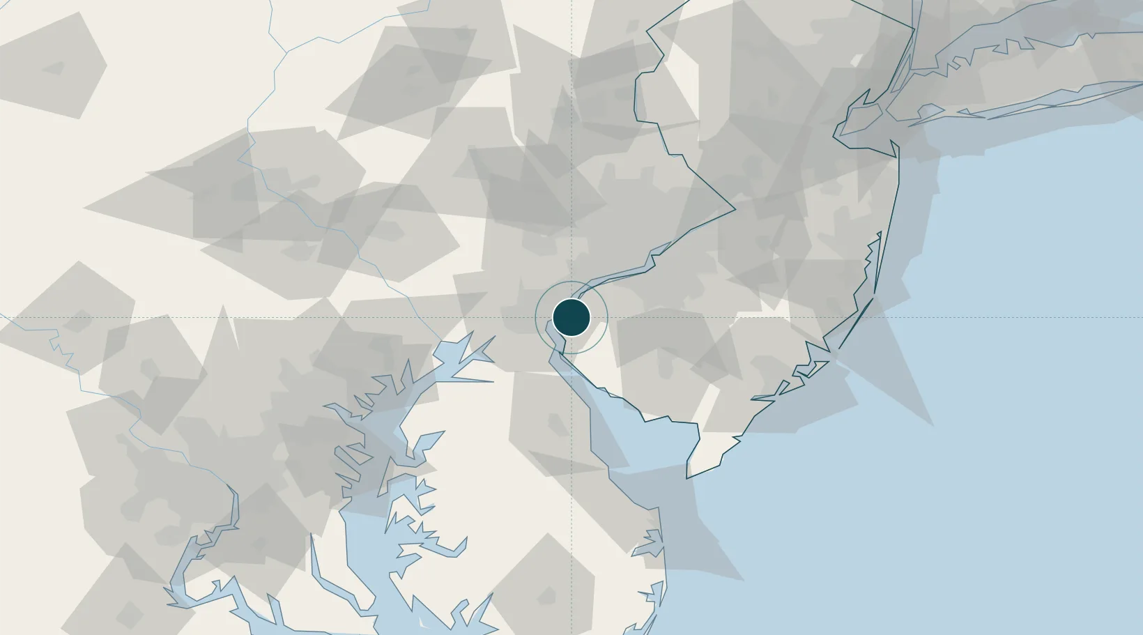
Location
Nearby Logistics Neighbours
Ports
- 1Deepwater Point5 km
- 2New Castle7 km
- 3Wilmington9 km
- 4Marcus Hook18 km
- 5Chester23 km
Cities
- 1Wilmington7 km
- 2Mannington Mills10 km
- 3Mannington12 km
- 4Delaware City14 km
- 5Woodstown14 km
Airports
Trade Zones
- 1FTZ No. 099 Wilmington10 km
- 2FTZ No. 035 Philadelphia42 km
- 3FTZ No. 142 Salem Millville44 km
- 4FTZ No. 200 Mercer County87 km
- 5FTZ No. 074 Baltimore106 km
DatabookThe Record of Consolidated Knowledge
United States beyond logistics?