Medium airport · United States
Northeast Philadelphia AirportKPNE
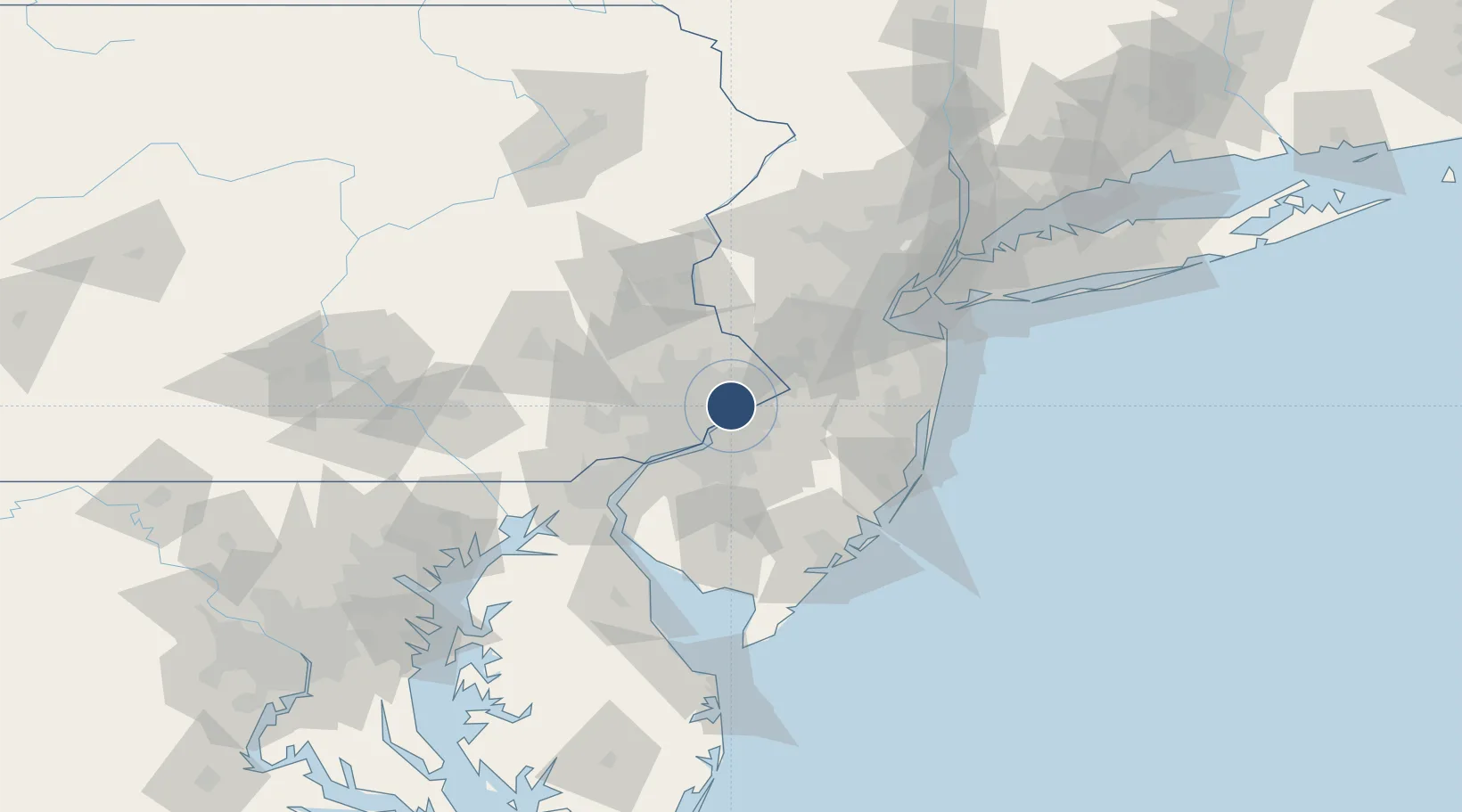
40.0824°, -75.0106°
7,000 ft
Longest runway
2
Runways
120 ft
Elevation
Runway & Layout

Radio Frequencies
ATIS
121.15 MHz
TWR
126.9 MHz
GND
121.7 MHz
CLD
127.25 MHz
CLNC DEL
CTAF
126.9 MHz
A/D
123.8 MHz
PHILADELPHIA APP/DEP
RDO
122.2 MHz
WILLIAMSPORT RDO
UNIC
122.95 MHz
UNICOM
Runways · 2
| Runway | Dimensions | Surface | True heading | Lit |
|---|---|---|---|---|
| 06/24 | 7,000 × 100ft | Asphalt | 048° | ✓ |
| 15/33 | 4,999 × 150ft | Asphalt | 141° | ✓ |
Airport Specifications
IATA code
PNE
ICAO code
KPNE
Airport class
Medium airport
Scheduled service
No
Runway surface
Asphalt
Served city
Philadelphia
Location
Nearby Logistics Neighbours
Airports
Cities
- 1Bethayres6 km
- 2Elkins Park9 km
- 3Newportville10 km
- 4Glenside12 km
- 5Morrisville13 km
Ports
- 1Burlington12 km
- 2Bristol14 km
- 3Philadelphia18 km
- 4Camden18 km
- 5Gloucester23 km
Trade Zones
- 1FTZ No. 035 Philadelphia23 km
- 2FTZ No. 200 Mercer County26 km
- 3FTZ No. 099 Wilmington59 km
- 4FTZ No. 235 Lakewood66 km
- 5FTZ No. 142 Salem Millville78 km
DatabookThe Record of Consolidated Knowledge
United States beyond logistics?