Medium airport · United States

Wilmington AirportKILG
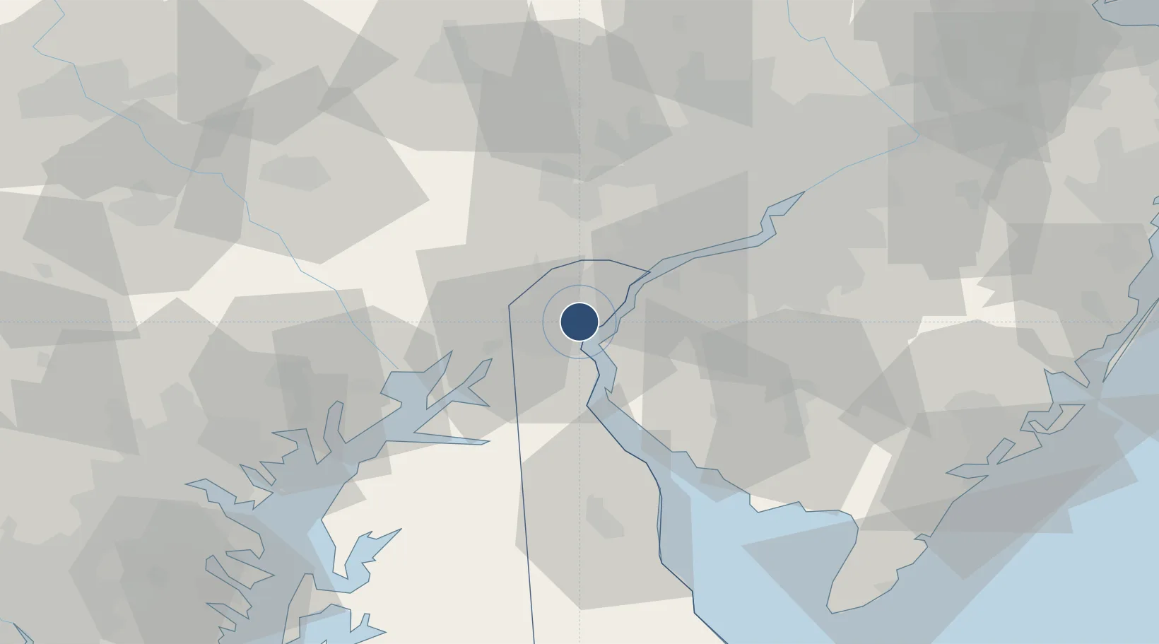
39.6787°, -75.6065°
7,275 ft
Longest runway
3
Runways
80 ft
Elevation

Runway & Layout

Wilmington Airport runway & taxiway layout
Runway & taxiway layout — OpenStreetMap (ODbL) / OurAirports

Radio Frequencies

ATIS
123.95 MHz
TWR
126 MHz
WILMINGTON TWR
GND
121.7 MHz
CLD
119.95 MHz
CLNC DEL
CTAF
126 MHz
A/D
118.35 MHz
PHILADELPHIA APP/DEP
OPS
46.9 MHz
ARNG OPS
POST
34.3 MHz
WILMINGTON COMD POST
RDO
114 MHz
MILLVILLE RDO
UNIC
122.95 MHz
UNICOM
OurAirports

Navaids

DQO VORTAC Dupont 114.00 MHz
IL NDB Hadin 248 kHz
OurAirports

Runways · 3

RunwayDimensions SurfaceTrue headingLit
09/27 7,275 × 150ft Asphalt 078°
01/19 7,012 × 150ft Asphalt 005°
14/32 4,602 × 150ft Asphalt 131°
OurAirports

Airport Specifications

IATA code
ILG
OurAirports
ICAO code
KILG
OurAirports
Airport class
Medium airport
OurAirports
Scheduled service
Yes
OurAirports
Runway surface
Asphalt
OurAirports
Served city
Wilmington
OurAirports

Location

Location of KILG
Natural Earth 10m (public domain) · Delaware · KILG · 39.68, -75.61GoogleOSMYandex

Nearby Logistics Neighbours

Airports
  1. 1Philadelphia International Airport38 km
  2. 2Phillips Army Air Field54 km
  3. 3Millville Municipal Airport57 km
  4. 4Dover Civil Air Terminal/Dover Air Force Base62 km
  5. 5Northeast Philadelphia Airport68 km
Nearest neighbours — logibook spatial index (haversine) over the source coordinates
Cities
  1. 1Bear7 km
  2. 2Wilmington8 km
  3. 3Delaware City13 km
  4. 4Winterthur14 km
  5. 5Mannington Mills17 km
Nearest neighbours — logibook spatial index (haversine) over the source coordinates
Ports
  1. 1New Castle5 km
  2. 2Wilmington8 km
  3. 3Deepwater Point8 km
  4. 4Salem Nj11 km
  5. 5Marcus Hook22 km
Nearest neighbours — logibook spatial index (haversine) over the source coordinates
Trade Zones
  1. 1FTZ No. 099 Wilmington9 km
  2. 2FTZ No. 035 Philadelphia47 km
  3. 3FTZ No. 142 Salem Millville53 km
  4. 4FTZ No. 200 Mercer County93 km
  5. 5FTZ No. 074 Baltimore97 km
Nearest neighbours — logibook spatial index (haversine) over the source coordinates
DatabookThe Record of Consolidated Knowledge
United States beyond logistics?
Browse databook

All Sources

AirportsOurAirports
Public domain
Portsthe NGA World Port Index
Public domain (US gov)
LocationsUN/LOCODE
UN/LOCODE — free
Trade Zonesthe World Bank SEZ database
CC BY 4.0
Trade ZonesOpen Zone Map
CC BY
InfrastructureOpenStreetMap
ODbL 1.0
← United States airports