Seaport · United States

New CastleUSNSX

39.6500°, -75.5667°
7.9 m
Channel depth
New Castle is also a UN/LOCODE logistics hub →

Channel & Berth Profile

SEA LEVEL (CD)CHANNEL BEDAnchorage · 1.8 mCargo pier · 3.4 mChannel · 7.9 m
NGA World Port Index

Pilotage, Tugs & Services

Pilotage compulsoryYES
MedicalYES
NGA World Port Index

Facilities & Capabilities

Container
Ro-Ro
Liquid bulk
Dry bulk
Oil terminal
Break bulk
Dry dock
Repairs
Bunkering
Rail link
Dangerous cargo
ISPS security
NGA World Port Index

Harbour Specifications
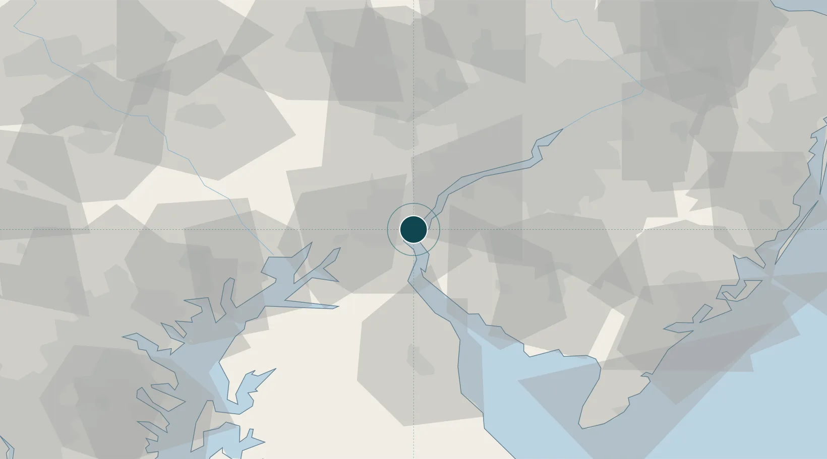
Harbour size
Very Small
NGA World Port Index
Harbour type
River (Natural)
NGA World Port Index
Shelter
Good
NGA World Port Index
Water body
North Atlantic Ocean
NGA World Port Index
Tidal range
1.5 m
NGA World Port Index
Overhead limit
Yes
NGA World Port Index
Pilotage
Yes
NGA World Port Index

Location

Location of USNSX
Natural Earth 10m (public domain) · Delaware · USNSX · 39.65, -75.57GoogleOSMYandex

Nearby Logistics Neighbours

Ports
  1. 1Deepwater Point7 km
  2. 2Salem Nj7 km
  3. 3Wilmington9 km
  4. 4Marcus Hook23 km
  5. 5Chester29 km
Nearest neighbours — logibook spatial index (haversine) over the source coordinates
Cities
  1. 1Wilmington8 km
  2. 2Bear9 km
  3. 3Delaware City9 km
  4. 4Mannington Mills12 km
  5. 5Mannington14 km
Nearest neighbours — logibook spatial index (haversine) over the source coordinates
Airports
  1. 1Wilmington Airport5 km
  2. 2Philadelphia International Airport37 km
  3. 3Millville Municipal Airport53 km
  4. 4Phillips Army Air Field56 km
  5. 5Dover Civil Air Terminal/Dover Air Force Base59 km
Nearest neighbours — logibook spatial index (haversine) over the source coordinates
Trade Zones
  1. 1FTZ No. 099 Wilmington11 km
  2. 2FTZ No. 035 Philadelphia47 km
  3. 3FTZ No. 142 Salem Millville48 km
  4. 4FTZ No. 200 Mercer County93 km
  5. 5FTZ No. 074 Baltimore99 km
Nearest neighbours — logibook spatial index (haversine) over the source coordinates
DatabookThe Record of Consolidated Knowledge
United States beyond logistics?
Browse databook

All Sources

Portsthe NGA World Port Index
Public domain (US gov)
AirportsOurAirports
Public domain
LocationsUN/LOCODE
UN/LOCODE — free
Trade Zonesthe World Bank SEZ database
CC BY 4.0
Trade ZonesOpen Zone Map
CC BY
← United States ports