Transport Functions
Port
Road
Multimodal
Hub Profile
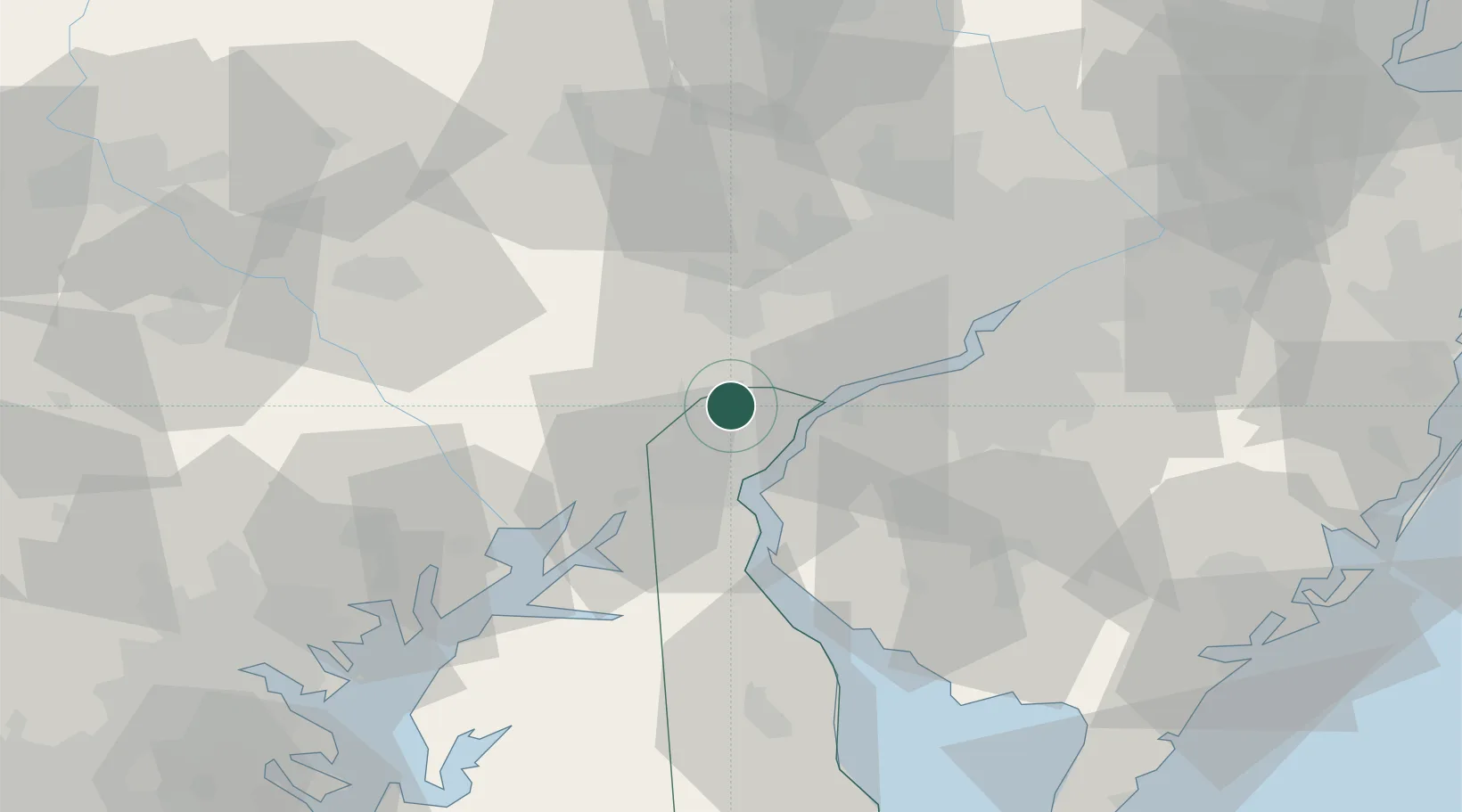
Place type
Populated place
Region
Delaware
Time zone
America/New_York
Elevation
82 m
Location
Nearby Logistics Neighbours
Cities
- 1Toughkenamon12 km
- 2Wilmington12 km
- 3Concordville13 km
- 4Avondale14 km
- 5West Grove17 km
Ports
- 1Wilmington9 km
- 2Deepwater Point14 km
- 3Marcus Hook17 km
- 4New Castle17 km
- 5Salem Nj19 km
Airports
Trade Zones
DatabookThe Record of Consolidated Knowledge
United States beyond logistics?