Foreign Trade Zone · United States

FTZ No. 142 Salem Millville Active
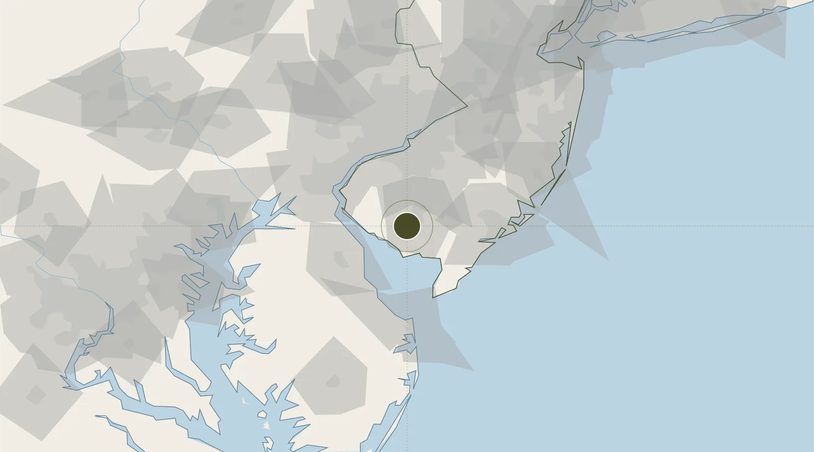
39.3897°, -75.1200°
43.8 km
Nearest port
4.8 km
Nearest airport

Gateway access

Nearest neighbours — logibook spatial index (haversine) over the source coordinates

Zone profile

Zone type
Foreign Trade Zone
Open Zone Map
Region
New Jersey
Open Zone Map
Status
Active
Open Zone Map
Management
Public-Private Partnership
Open Zone Map
Operator
South Jersey Port Corporation
Open Zone Map
Legal framework
Foreign-Trade Zones Act
Open Zone Map

Location

Location of ozm-4910
Natural Earth 10m (public domain) · New Jersey · ozm-4910 · 39.39, -75.12GoogleOSMYandex

Nearby Logistics Neighbours

Ports
  1. 1Salem Nj44 km
  2. 2New Castle48 km
  3. 3Deepwater Point49 km
  4. 4Paulsboro52 km
  5. 5Wilmington53 km
Nearest neighbours — logibook spatial index (haversine) over the source coordinates
Airports
  1. 1Millville Municipal Airport5 km
  2. 2Dover Civil Air Terminal/Dover Air Force Base42 km
  3. 3Cape May County Airport46 km
  4. 4Atlantic City International Airport47 km
  5. 5Wilmington Airport53 km
Nearest neighbours — logibook spatial index (haversine) over the source coordinates
Cities
  1. 1Millville8 km
  2. 2Fairton9 km
  3. 3Port Elizabeth17 km
  4. 4Deerfield17 km
  5. 5Pittsgrove18 km
Nearest neighbours — logibook spatial index (haversine) over the source coordinates
Trade Zones
  1. 1FTZ No. 099 Wilmington54 km
  2. 2FTZ No. 035 Philadelphia69 km
  3. 3FTZ No. 200 Mercer County102 km
  4. 4FTZ No. 235 Lakewood107 km
  5. 5FTZ No. 074 Baltimore128 km
Nearest neighbours — logibook spatial index (haversine) over the source coordinates
DatabookThe Record of Consolidated Knowledge
United States beyond logistics?
Browse databook

All Sources

Trade ZonesOpen Zone Map
CC BY
Portsthe NGA World Port Index
Public domain (US gov)
AirportsOurAirports
Public domain
LocationsUN/LOCODE
UN/LOCODE — free
← United States trade zones