Heliport · United States

Point Retreat CG Light Station HelipadUS-7494

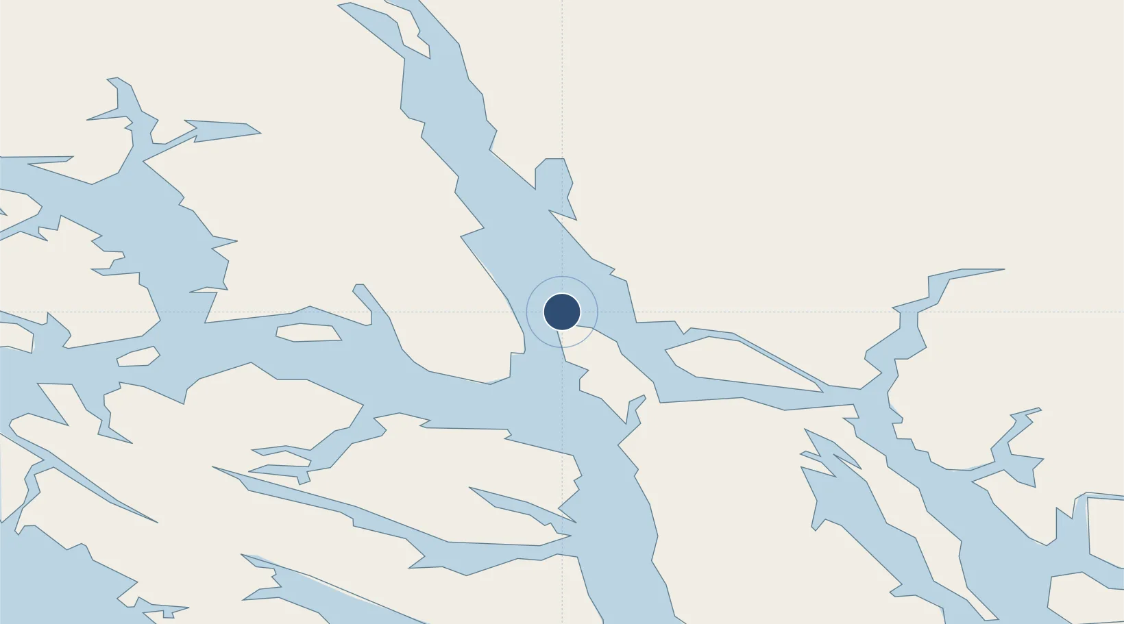
58.4107°, -134.9548°
26 ft
Elevation

Runway & Layout

Point Retreat CG Light Station Helipad runway & taxiway layout
Runway & taxiway layout — OpenStreetMap (ODbL) / OurAirports

Airport Specifications

Airport class
Heliport
OurAirports
Scheduled service
Yes
OurAirports
Served city
Admiralty Island
OurAirports

Location

Location of US-7494
Natural Earth 10m (public domain) · British Columbia · US-7494 · 58.41, -134.95GoogleOSMYandex

Nearby Logistics Neighbours

Airports
  1. 1Funter Bay Seaplane Base18 km
  2. 2Juneau International Airport23 km
  3. 3Excursion Inlet Seaplane Base29 km
  4. 4Gustavus Airport44 km
  5. 5Hoonah Airport44 km
Nearest neighbours — logibook spatial index (haversine) over the source coordinates
Cities
  1. 1Juneau32 km
  2. 2Pleasant Island40 km
  3. 3Tyee153 km
  4. 4Neets Bay355 km
  5. 5Ward Cove388 km
Nearest neighbours — logibook spatial index (haversine) over the source coordinates
Ports
  1. 1Funter18 km
  2. 2Excursion Inlet29 km
  3. 3Juneau34 km
  4. 4Hawk Inlet35 km
  5. 5Hoonah44 km
Nearest neighbours — logibook spatial index (haversine) over the source coordinates
Trade Zones
  1. 1FTZ No. 108 Valdez705 km
  2. 2FTZ No. 160 Anchorage890 km
  3. 3PrInce George Logistics Park904 km
  4. 4FTZ No. 195 Fairbanks980 km
  5. 5FTZ Vancouver Island1278 km
Nearest neighbours — logibook spatial index (haversine) over the source coordinates
DatabookThe Record of Consolidated Knowledge
United States beyond logistics?
Browse databook

All Sources

AirportsOurAirports
Public domain
Portsthe NGA World Port Index
Public domain (US gov)
LocationsUN/LOCODE
UN/LOCODE — free
Trade Zonesthe World Bank SEZ database
CC BY 4.0
Trade ZonesOpen Zone Map
CC BY
InfrastructureOpenStreetMap
ODbL 1.0
← United States airports