Runway & Layout

Airport Specifications
ICAO code
PHIK
Airport class
Medium airport
Scheduled service
No
Served city
Honolulu
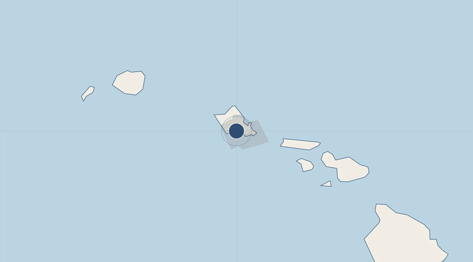
Location
Nearby Logistics Neighbours
Airports
Cities
- 1Honolulu7 km
- 2Kapolei14 km
- 3Mililani Town18 km
- 4Kailua23 km
- 5Waianae27 km
Ports
- 1Honolulu9 km
- 2Barber's Point18 km
- 3Kaunakakai99 km
- 4Lahaina143 km
- 5Nawiliwili Bay160 km
Trade Zones
- 1FTZ No. 009 Honolulu10 km
- 2FTZ No. 248 Eureka3841 km
- 3FTZ No. 003 San Francisco3862 km
- 4FTZ No. 056 Oakland3873 km
- 5FTZ No. 132 Coos County3960 km
DatabookThe Record of Consolidated Knowledge
United States beyond logistics?