UN/LOCODE hub · United States
USMM7
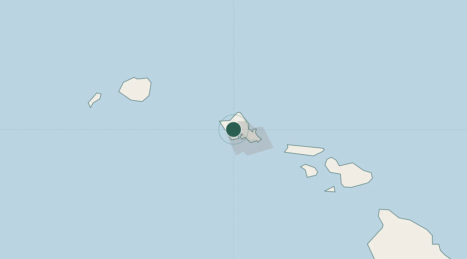
Mililani Town
21.4500°, -158.0667°
27,629
Population
1
Transport functions
Transport Functions
Multimodal
Hub Profile
Place type
Populated place
Region
Hawaii
Population
27,629
Time zone
Pacific/Honolulu
Elevation
207 m
Location
Nearby Logistics Neighbours
Ports
- 1Barber's Point16 km
- 2Honolulu27 km
- 3Kaunakakai115 km
- 4Nawiliwili Bay144 km
- 5Lahaina159 km
Airports
Trade Zones
- 1FTZ No. 009 Honolulu27 km
- 2FTZ No. 248 Eureka3841 km
- 3FTZ No. 003 San Francisco3865 km
- 4FTZ No. 056 Oakland3875 km
- 5FTZ No. 132 Coos County3959 km
DatabookThe Record of Consolidated Knowledge
United States beyond logistics?