Large airport · United States
Daniel K. Inouye International AirportPHNL
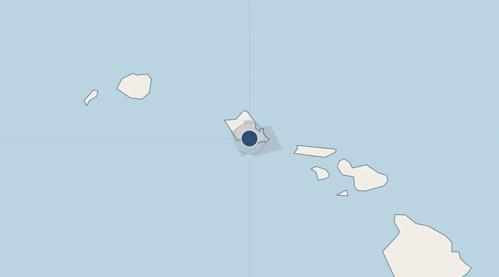
21.3184°, -157.9257°
12,360 ft
Longest runway
6
Runways
13 ft
Elevation
Runway & Layout

Radio Frequencies
ATIS
127.9 MHz
TWR
118.1 MHz
GND
121.9 MHz
APPR
118.3 MHz
CLRN
121.4 MHz
DEPT
118.3 MHz
Runways · 6
| Runway | Dimensions | Surface | True heading | Lit |
|---|---|---|---|---|
| 08L/26R | 12,360 × 200ft | ASPH-G | 090° | — |
| 08R/26L | 12,000 × 200ft | ASPH-G | 090° | — |
| 04R/22L | 9,002 × 150ft | ASPH-G | 053° | — |
| 04L/22R | 6,955 × 150ft | ASPH-G | 053° | — |
| 08W/26W | 5,090 × 300ft | Water | 091° | — |
| 04W/22W | 3,000 × 150ft | Water | 051° | — |
Airport Specifications
IATA code
HNL
ICAO code
PHNL
Airport class
Large airport
Scheduled service
Yes
Runway surface
ASPH-G
Served city
Honolulu, Oahu
Location
Nearby Logistics Neighbours
Airports
- 1Hickam Air Force Base3 km
- 2Kalaeloa Airport15 km
- 3Kaneohe Bay MCAS (Marion E. Carl Field) Airport22 km
- 4Molokai Airport88 km
- 5Kalaupapa Airport99 km
Cities
- 1Honolulu4 km
- 2Kapolei16 km
- 3Mililani Town21 km
- 4Kailua22 km
- 5Waianae30 km
Ports
- 1Honolulu6 km
- 2Barber's Point20 km
- 3Kaunakakai96 km
- 4Lahaina140 km
- 5Kahului158 km
Trade Zones
- 1FTZ No. 009 Honolulu7 km
- 2FTZ No. 248 Eureka3840 km
- 3FTZ No. 003 San Francisco3862 km
- 4FTZ No. 056 Oakland3872 km
- 5FTZ No. 132 Coos County3960 km
DatabookThe Record of Consolidated Knowledge
United States beyond logistics?