Medium airport · United States
Kaneohe Bay MCAS (Marion E. Carl Field) AirportPHNG
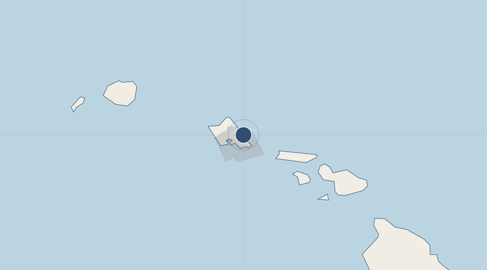
21.4505°, -157.7680°
7,771 ft
Longest runway
1
Runways
24 ft
Elevation
Runway & Layout

Radio Frequencies
ATIS
28.45 MHz
TWR
120.7 MHz
GND
38.28 MHz
CLD
29.47 MHz
CLNC DEL
CTAF
120.7 MHz
A/D
125 MHz
APP/DEP
PMSV
34.46 MHz
PMSV METRO
PTD
30.72 MHz
Navaids
NGF TACAN Kaneohe 114.60 MHz
Runways · 1
| Runway | Dimensions | Surface | True heading | Lit |
|---|---|---|---|---|
| 04/22 | 7,771 × 200ft | Asphalt | 052° | ✓ |
Airport Specifications
IATA code
NGF
ICAO code
PHNG
Airport class
Medium airport
Scheduled service
No
Runway surface
Asphalt
Served city
Kaneohe
Location
Nearby Logistics Neighbours
Airports
- 1Daniel K. Inouye International Airport22 km
- 2Hickam Air Force Base23 km
- 3Kalaeloa Airport35 km
- 4Molokai Airport77 km
- 5Kalaupapa Airport86 km
Cities
- 1Kailua7 km
- 2Honolulu19 km
- 3Kahuku31 km
- 4Mililani Town31 km
- 5Kapolei35 km
Ports
- 1Honolulu20 km
- 2Barber's Point39 km
- 3Kaunakakai86 km
- 4Lahaina131 km
- 5Kahului148 km
Trade Zones
- 1FTZ No. 009 Honolulu19 km
- 2FTZ No. 248 Eureka3818 km
- 3FTZ No. 003 San Francisco3840 km
- 4FTZ No. 056 Oakland3850 km
- 5FTZ No. 132 Coos County3938 km
DatabookThe Record of Consolidated Knowledge
United States beyond logistics?