Channel & Berth Profile
Pilotage, Tugs & Services
Pilotage compulsoryYES
Pilotage availableYES
Pilotage advisableYES
Tug assistanceYES
Potable waterYES
Diesel bunkersYES
MedicalYES
Facilities & Capabilities
Container—
Ro-Ro—
Liquid bulk—
Dry bulk—
Oil terminal—
Break bulk—
Dry dock—
RepairsNO
BunkeringYES
Rail link—
Dangerous cargo—
ISPS security—
Harbour Specifications
Harbour size
Small
Harbour type
Coastal (Breakwater)
Shelter
Fair
Water body
North Pacific Ocean
Tidal range
0.6 m
Pilotage
Yes
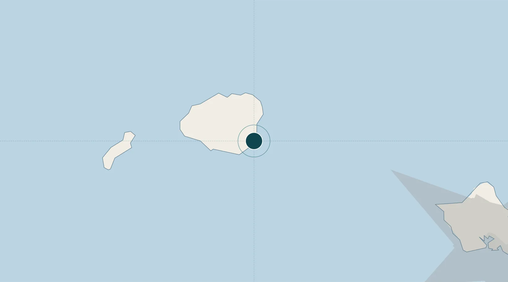
Location
Nearby Logistics Neighbours
Ports
- 1Port Allen25 km
- 2Barber's Point146 km
- 3Honolulu170 km
- 4Kaunakakai258 km
- 5Lahaina303 km
Cities
- 1Kapaa13 km
- 2Eleele24 km
- 3Port Allen25 km
- 4Waianae134 km
- 5Waianae134 km
Airports
- 1Lihue Airport3 km
- 2Barking Sands Airport46 km
- 3Kalaeloa Airport150 km
- 4Hickam Air Force Base160 km
- 5Daniel K. Inouye International Airport163 km
Trade Zones
- 1FTZ No. 009 Honolulu170 km
- 2FTZ No. 248 Eureka3904 km
- 3FTZ No. 003 San Francisco3940 km
- 4FTZ No. 056 Oakland3951 km
- 5FTZ No. 232 Kodiak3977 km
DatabookThe Record of Consolidated Knowledge
United States beyond logistics?