Medium airport · United States
Kalaeloa AirportPHJR
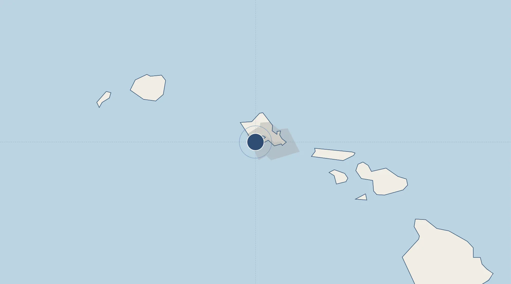
21.3074°, -158.0700°
8,365 ft
Longest runway
3
Runways
30 ft
Elevation
Runway & Layout

Radio Frequencies
ATIS
119.8 MHz
TWR
132.6 MHz
GND
123.8 MHz
CLD
121.7 MHz
CLNC DEL
CTAF
132.6 MHz
A/D
118.3 MHz
HONOLULU APP/DEP
Runways · 3
| Runway | Dimensions | Surface | True heading | Lit |
|---|---|---|---|---|
| 11/29 | 8,365 × 200ft | Asphalt | 118° | ✓ |
| 04R/22L | 7,989 × 200ft | Asphalt | 055° | ✓ |
| 04L/22R | 4,505 × 200ft | Asphalt | 055° | ✓ |
Airport Specifications
IATA code
JRF
ICAO code
PHJR
Airport class
Medium airport
Scheduled service
No
Runway surface
Asphalt
Served city
Kapolei
Location
Nearby Logistics Neighbours
Airports
Cities
- 1Kapolei3 km
- 2Mililani Town16 km
- 3Waianae18 km
- 4Waianae18 km
- 5Honolulu19 km
Ports
- 1Barber's Point5 km
- 2Honolulu21 km
- 3Kaunakakai110 km
- 4Nawiliwili Bay150 km
- 5Lahaina154 km
Trade Zones
- 1FTZ No. 009 Honolulu21 km
- 2FTZ No. 248 Eureka3852 km
- 3FTZ No. 003 San Francisco3874 km
- 4FTZ No. 056 Oakland3885 km
- 5FTZ No. 132 Coos County3971 km
DatabookThe Record of Consolidated Knowledge
United States beyond logistics?