Transport Functions
Multimodal
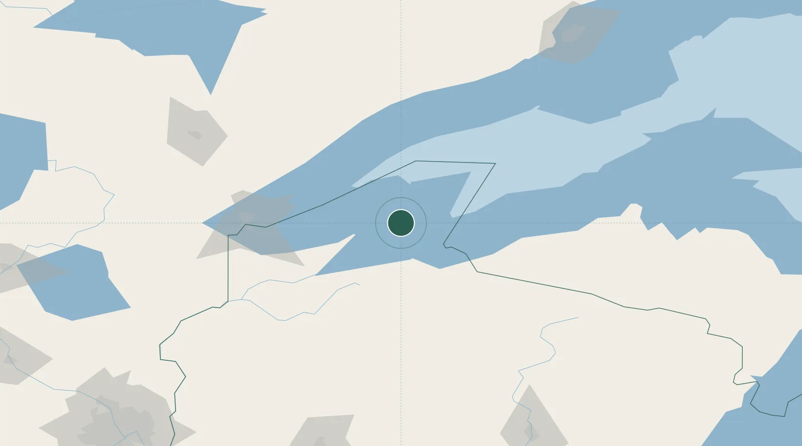
Hub Profile
Place type
Populated place
Region
Wisconsin
Time zone
America/Chicago
Elevation
186 m
Location
Nearby Logistics Neighbours
Cities
- 1Mason, Bayfield43 km
- 2Mellen51 km
- 3Hurley59 km
- 4Glidden72 km
- 5Wakefield73 km
Ports
- 1Bayfield5 km
- 2Washburn14 km
- 3Ashland20 km
- 4Two Harbors72 km
- 5Superior98 km
Airports
- 1Gogebic Iron County Airport57 km
- 2Sawyer County Airport97 km
- 3Duluth International Airport108 km
- 4Ely Municipal Airport142 km
- 5Rhinelander Oneida County Airport162 km
Trade Zones
- 1FTZ No. 051 Duluth112 km
- 2FTZ No. 119 Minneapolis-St. Paul276 km
- 3FTZ No. 259 Koochiching County314 km
- 4FTZ No. 167 Brown County322 km
- 5FTZ No. 266 Dane County420 km
DatabookThe Record of Consolidated Knowledge
United States beyond logistics?