Seaport · United States

FairportUSFPT

41.7667°, -81.3000°
4.9 m
Channel depth
Fairport is also a UN/LOCODE logistics hub →

Channel & Berth Profile

SEA LEVEL (CD)CHANNEL BEDChannel · 4.9 mAnchorage · 4.9 mCargo pier · 4.9 m
NGA World Port Index

Pilotage, Tugs & Services

Pilotage compulsoryYES
Tug assistanceYES
Salvage tugsNO
Potable waterYES
Diesel bunkersYES
MedicalYES
NGA World Port Index

Facilities & Capabilities

Container
Ro-Ro
Liquid bulk
Dry bulk
Oil terminal
Break bulk
Dry dock
RepairsNO
BunkeringYES
Rail linkYES
Dangerous cargo
ISPS security
NGA World Port Index

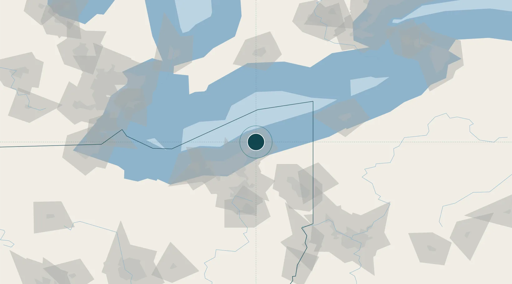
Harbour Specifications

Harbour size
Small
NGA World Port Index
Harbour type
River (Natural)
NGA World Port Index
Shelter
Excellent
NGA World Port Index
Water body
Lake Erie; Great Lakes
NGA World Port Index
Overhead limit
Yes
NGA World Port Index
Pilotage
Yes
NGA World Port Index

Location

Location of USFPT
Natural Earth 10m (public domain) · Ohio · USFPT · 41.77, -81.30GoogleOSMYandex

Nearby Logistics Neighbours

Ports
  1. 1Ashtabula44 km
  2. 2Cleveland46 km
  3. 3Conneaut66 km
  4. 4Rondeau75 km
  5. 5Lorain81 km
Nearest neighbours — logibook spatial index (haversine) over the source coordinates
Cities
  1. 1Concord, Lake13 km
  2. 2East Lake18 km
  3. 3Wickliffe20 km
  4. 4Thompson23 km
  5. 5Mayfield, Cuyahoga27 km
Nearest neighbours — logibook spatial index (haversine) over the source coordinates
Airports
  1. 1Cuyahoga County Airport27 km
  2. 2Burke Lakefront Airport42 km
  3. 3Northeast Ohio Regional Airport50 km
  4. 4Cleveland Hopkins International Airport60 km
  5. 5Youngstown Warren Regional Airport76 km
Nearest neighbours — logibook spatial index (haversine) over the source coordinates
Trade Zones
  1. 1FTZ No. 040 Cleveland54 km
  2. 2FTZ No. 181 Akron Canton97 km
  3. 3FTZ No. 247 Erie106 km
  4. 4Windsor - Essex Foreign Trade Zone155 km
  5. 5FTZ No. 210 St. Clair County156 km
Nearest neighbours — logibook spatial index (haversine) over the source coordinates
DatabookThe Record of Consolidated Knowledge
United States beyond logistics?
Browse databook

All Sources

Portsthe NGA World Port Index
Public domain (US gov)
AirportsOurAirports
Public domain
LocationsUN/LOCODE
UN/LOCODE — free
Trade Zonesthe World Bank SEZ database
CC BY 4.0
Trade ZonesOpen Zone Map
CC BY
← United States ports