UN/LOCODE hub · United States
USWIC
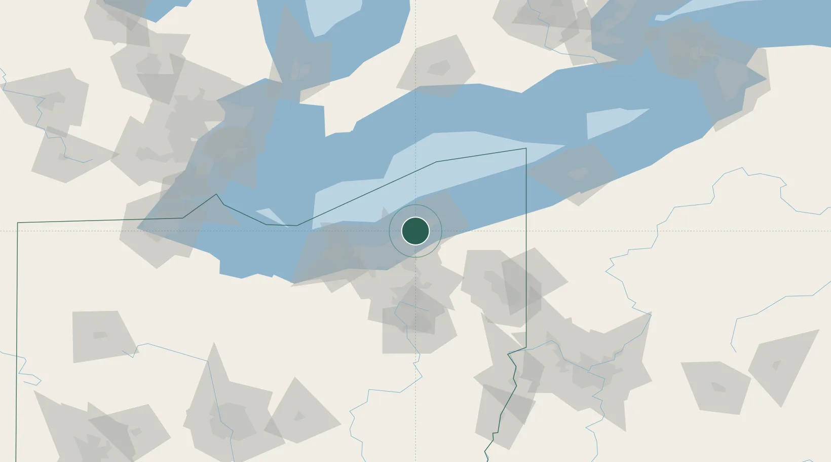
Wickliffe
41.6265°, -81.4528°
12,545
Population
2
Transport functions
Transport Functions
Rail
Road
Hub Profile
Place type
Populated place
Region
Ohio
Population
12,545
Time zone
America/New_York
Elevation
234 m
Logistics facilities
1
Location
Nearby Logistics Neighbours
Cities
- 1East Lake3 km
- 2Mayfield, Cuyahoga9 km
- 3Cleveland Heights15 km
- 4Novelty19 km
- 5Shaker Heights19 km
Airports
Trade Zones
- 1FTZ No. 040 Cleveland36 km
- 2FTZ No. 181 Akron Canton78 km
- 3FTZ No. 247 Erie124 km
- 4Windsor - Essex Foreign Trade Zone151 km
- 5FTZ No. 210 St. Clair County161 km
DatabookThe Record of Consolidated Knowledge
United States beyond logistics?