UN/LOCODE hub · United States
USFPT
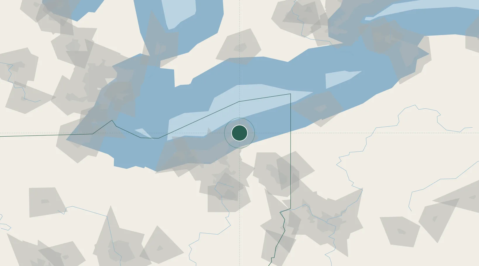
Fairport Harbor Village
41.7500°, -81.2667°
2
Transport functions
Transport Functions
Port
Road
Hub Profile
Region
OH
Location
Nearby Logistics Neighbours
Cities
- 1Concord, Lake10 km
- 2East Lake19 km
- 3Thompson20 km
- 4Wickliffe21 km
- 5Mayfield, Cuyahoga26 km
Airports
Trade Zones
- 1FTZ No. 040 Cleveland56 km
- 2FTZ No. 181 Akron Canton97 km
- 3FTZ No. 247 Erie104 km
- 4Windsor - Essex Foreign Trade Zone159 km
- 5FTZ No. 210 St. Clair County159 km
DatabookThe Record of Consolidated Knowledge
United States beyond logistics?