Channel & Berth Profile
Pilotage, Tugs & Services
Pilotage compulsoryYES
Tug assistanceYES
Potable waterYES
Diesel bunkersYES
MedicalYES
Facilities & Capabilities
Container—
Ro-Ro—
Liquid bulk—
Dry bulk—
Oil terminal—
Break bulk—
Dry dock—
RepairsNO
BunkeringYES
Rail linkYES
Dangerous cargo—
ISPS security—
Harbour Specifications
Harbour size
Small
Harbour type
River (Natural)
Shelter
Excellent
Water body
Lake Erie; Great Lakes
Overhead limit
Yes
Pilotage
Yes
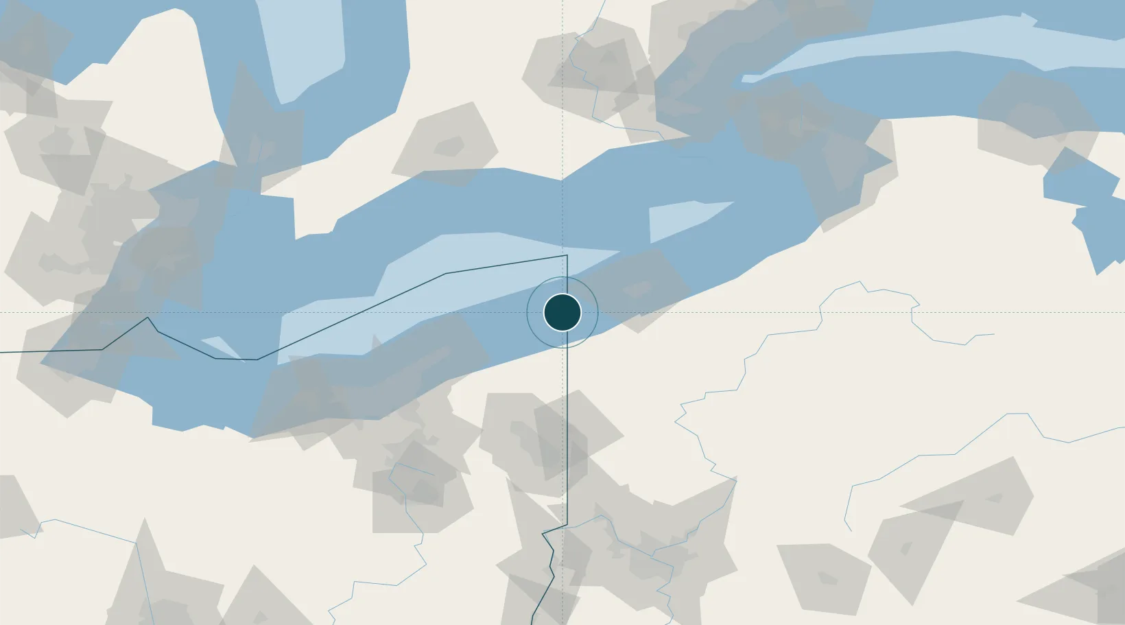
Location
Nearby Logistics Neighbours
Ports
- 1Ashtabula22 km
- 2Erie42 km
- 3Fairport66 km
- 4Port Stanley94 km
- 5Port Dover95 km
Cities
- 1Albion (Erie County)18 km
- 2Girard20 km
- 3Fairview25 km
- 4Conneautville29 km
- 5Saybrook33 km
Airports
Trade Zones
- 1FTZ No. 247 Erie40 km
- 2FTZ No. 040 Cleveland120 km
- 3FTZ No. 181 Akron Canton150 km
- 4FTZ No. 254 Jefferson County161 km
- 5FTZ No. 023 Buffalo171 km
DatabookThe Record of Consolidated Knowledge
United States beyond logistics?