Medium airport · United States

Burke Lakefront AirportKBKL
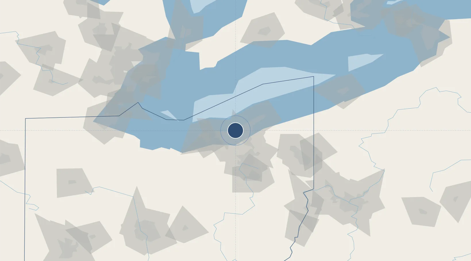
41.5175°, -81.6833°
6,604 ft
Longest runway
2
Runways
583 ft
Elevation

Runway & Layout

Burke Lakefront Airport runway & taxiway layout
Runway & taxiway layout — OpenStreetMap (ODbL) / OurAirports

Radio Frequencies

ATIS
125.25 MHz
ASOS
125.25 MHz
TWR
124.3 MHz
LAKEFRONT TWR
GND
121.9 MHz
CTAF
124.3 MHz
A/D
125.35 MHz
CLEVELAND APP/DEP
UNIC
122.95 MHz
UNICOM
OurAirports

Navaids

BF NDB Tabey 248 kHz
BKL NDB Burke Lakefront 416 kHz
OurAirports

Runways · 2

RunwayDimensions SurfaceTrue headingLit
06L/24R 6,604 × 150ft Asphalt 058°
06R/24L 5,197 × 100ft Asphalt 058°
OurAirports

Airport Specifications

IATA code
BKL
OurAirports
ICAO code
KBKL
OurAirports
Airport class
Medium airport
OurAirports
Scheduled service
No
OurAirports
Runway surface
Asphalt
OurAirports
Served city
Cleveland
OurAirports

Location

Location of KBKL
Natural Earth 10m (public domain) · Ohio · KBKL · 41.52, -81.68GoogleOSMYandex

Nearby Logistics Neighbours

Airports
  1. 1Cuyahoga County Airport17 km
  2. 2Cleveland Hopkins International Airport18 km
  3. 3Akron Fulton International Airport56 km
  4. 4Akron Canton Regional Airport70 km
  5. 5Kelleys Island Land Field84 km
Nearest neighbours — logibook spatial index (haversine) over the source coordinates
Cities
  1. 1Ohio City4 km
  2. 2Newburgh Heights8 km
  3. 3Cuyahoga Heights8 km
  4. 4Cleveland8 km
  5. 5Cleveland Heights11 km
Nearest neighbours — logibook spatial index (haversine) over the source coordinates
Ports
  1. 1Cleveland3 km
  2. 2Lorain42 km
  3. 3Fairport42 km
  4. 4Vermilion58 km
  5. 5Huron73 km
Nearest neighbours — logibook spatial index (haversine) over the source coordinates
Trade Zones
  1. 1FTZ No. 040 Cleveland14 km
  2. 2FTZ No. 181 Akron Canton63 km
  3. 3Windsor - Essex Foreign Trade Zone142 km
  4. 4FTZ No. 247 Erie147 km
  5. 5FTZ No. 008 Toledo154 km
Nearest neighbours — logibook spatial index (haversine) over the source coordinates
DatabookThe Record of Consolidated Knowledge
United States beyond logistics?
Browse databook

All Sources

AirportsOurAirports
Public domain
Portsthe NGA World Port Index
Public domain (US gov)
LocationsUN/LOCODE
UN/LOCODE — free
Trade Zonesthe World Bank SEZ database
CC BY 4.0
Trade ZonesOpen Zone Map
CC BY
InfrastructureOpenStreetMap
ODbL 1.0
← United States airports