Medium airport · United States
Youngstown Warren Regional AirportKYNG
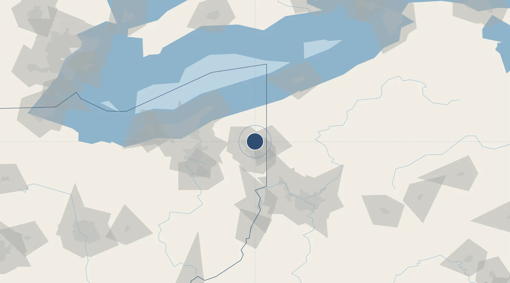
41.2607°, -80.6791°
9,003 ft
Longest runway
3
Runways
1,192 ft
Elevation
Runway & Layout

Radio Frequencies
ATIS
123.75 MHz
TWR
119.5 MHz
GND
121.9 MHz
CLD
118.25 MHz
CLNC DEL
A/D
127.15 MHz
CLEVELAND ARTCC A/D
A/D
133.95 MHz
APP/DEP
COMD POST
384.7 MHz
910 AW COMD POST
RDO
122.2 MHz
CLEVELAND RDO
UNIC
122.95 MHz
UNICOM
Navaids
YN NDB Fetch 338 kHz
YNG VORTAC Youngstown 109.00 MHz
Runways · 3
| Runway | Dimensions | Surface | True heading | Lit |
|---|---|---|---|---|
| 14/32 | 9,003 × 150ft | Asphalt | 135° | ✓ |
| 05/23 | 5,002 × 150ft | Asphalt | 045° | ✓ |
| 143/323 | 3,501 × 60ft | ASPH-F | — | — |
Airport Specifications
IATA code
YNG
ICAO code
KYNG
Airport class
Medium airport
Scheduled service
No
Runway surface
Asphalt
Served city
Youngstown/Warren
Location
Nearby Logistics Neighbours
Airports
Cities
- 1McDonald, Trumbull13 km
- 2Johnston14 km
- 3Sharpsville18 km
- 4Kinsman, Trumbull23 km
- 5Transfer23 km
Trade Zones
- 1FTZ No. 181 Akron Canton95 km
- 2FTZ No. 040 Cleveland101 km
- 3FTZ No. 247 Erie106 km
- 4FTZ No. 033 Pittsburgh106 km
- 5FTZ No. 254 Jefferson County163 km
DatabookThe Record of Consolidated Knowledge
United States beyond logistics?