Large airport · United States

Cleveland Hopkins International AirportKCLE
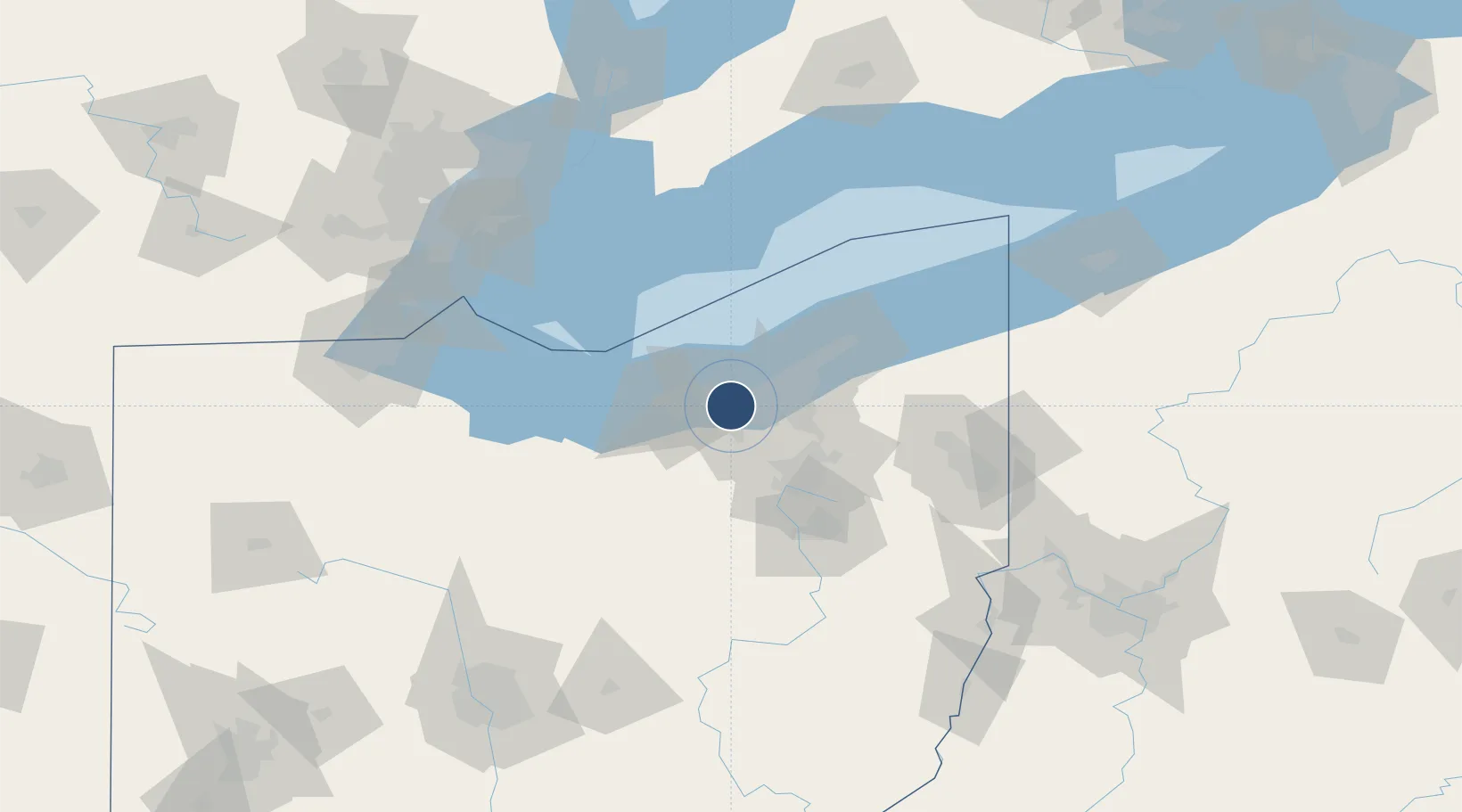
41.4117°, -81.8498°
9,953 ft
Longest runway
3
Runways
791 ft
Elevation

Runway & Layout

Cleveland Hopkins International Airport runway & taxiway layout
Runway & taxiway layout — OpenStreetMap (ODbL) / OurAirports

Radio Frequencies

ATIS
127.85 MHz
TWR
120.9 MHz
GND
121.7 MHz
CLD
125.05 MHz
CLNC DEL
APP
119.625 MHz
DEP
118.15 MHz
RDO
122.2 MHz
RMP
129.17 MHz
RAMP CON
UNIC
122.95 MHz
UNICOM
OurAirports

Navaids

CL NDB Harri 344 kHz
EZE NDB Engel 226 kHz
OurAirports

Runways · 3

RunwayDimensions SurfaceTrue headingLit
06R/24L 9,953 × 150ft Concrete 050°
06L/24R 9,000 × 150ft Concrete 050°
10/28 6,018 × 150ft Asphalt / concrete 093°
OurAirports

Airport Specifications

IATA code
CLE
OurAirports
ICAO code
KCLE
OurAirports
Airport class
Large airport
OurAirports
Scheduled service
Yes
OurAirports
Runway surface
Concrete
OurAirports
Served city
Cleveland
OurAirports

Location

Location of KCLE
Natural Earth 10m (public domain) · Ohio · KCLE · 41.41, -81.85GoogleOSMYandex

Nearby Logistics Neighbours

Airports
  1. 1Burke Lakefront Airport18 km
  2. 2Cuyahoga County Airport35 km
  3. 3Akron Fulton International Airport53 km
  4. 4Akron Canton Regional Airport65 km
  5. 5Kelleys Island Land Field73 km
Nearest neighbours — logibook spatial index (haversine) over the source coordinates
Cities
  1. 1Grand Rapids2 km
  2. 2Fairview Park2 km
  3. 3Olmsted Falls5 km
  4. 4Rocky River6 km
  5. 5Berea7 km
Nearest neighbours — logibook spatial index (haversine) over the source coordinates
Ports
  1. 1Cleveland15 km
  2. 2Lorain29 km
  3. 3Vermilion43 km
  4. 4Huron58 km
  5. 5Fairport60 km
Nearest neighbours — logibook spatial index (haversine) over the source coordinates
Trade Zones
  1. 1FTZ No. 040 Cleveland10 km
  2. 2FTZ No. 181 Akron Canton51 km
  3. 3Windsor - Essex Foreign Trade Zone140 km
  4. 4FTZ No. 008 Toledo143 km
  5. 5FTZ No. 070 Detroit156 km
Nearest neighbours — logibook spatial index (haversine) over the source coordinates
DatabookThe Record of Consolidated Knowledge
United States beyond logistics?
Browse databook

All Sources

AirportsOurAirports
Public domain
Portsthe NGA World Port Index
Public domain (US gov)
LocationsUN/LOCODE
UN/LOCODE — free
Trade Zonesthe World Bank SEZ database
CC BY 4.0
Trade ZonesOpen Zone Map
CC BY
InfrastructureOpenStreetMap
ODbL 1.0
← United States airports