UN/LOCODE hub · United States
USE2L
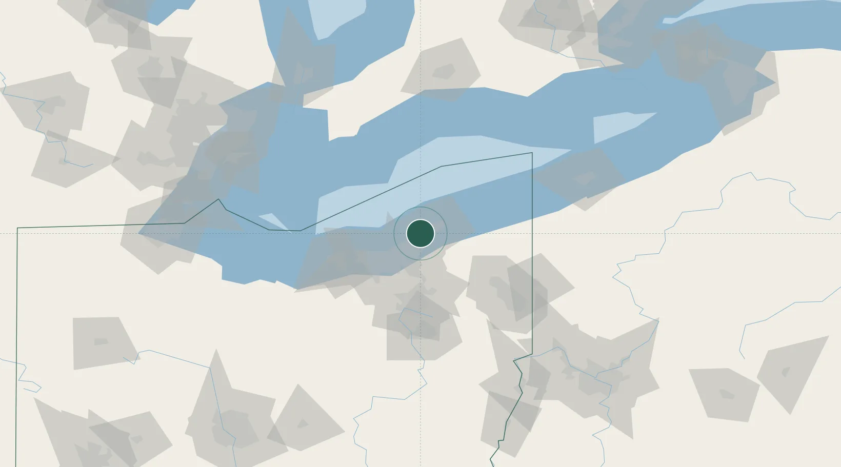
East Lake
41.6500°, -81.4500°
18,232
Population
1
Transport functions
Transport Functions
Port
Hub Profile
Place type
Populated place
Region
Ohio
Population
18,232
Time zone
America/New_York
Elevation
189 m
Location
Nearby Logistics Neighbours
Cities
- 1Wickliffe3 km
- 2Mayfield, Cuyahoga11 km
- 3Cleveland Heights17 km
- 4Fairport Harbor Village19 km
- 5Concord, Lake20 km
Airports
Trade Zones
- 1FTZ No. 040 Cleveland37 km
- 2FTZ No. 181 Akron Canton81 km
- 3FTZ No. 247 Erie123 km
- 4Windsor - Essex Foreign Trade Zone150 km
- 5FTZ No. 210 St. Clair County159 km
DatabookThe Record of Consolidated Knowledge
United States beyond logistics?