Medium airport · United States

Cuyahoga County AirportKCGF
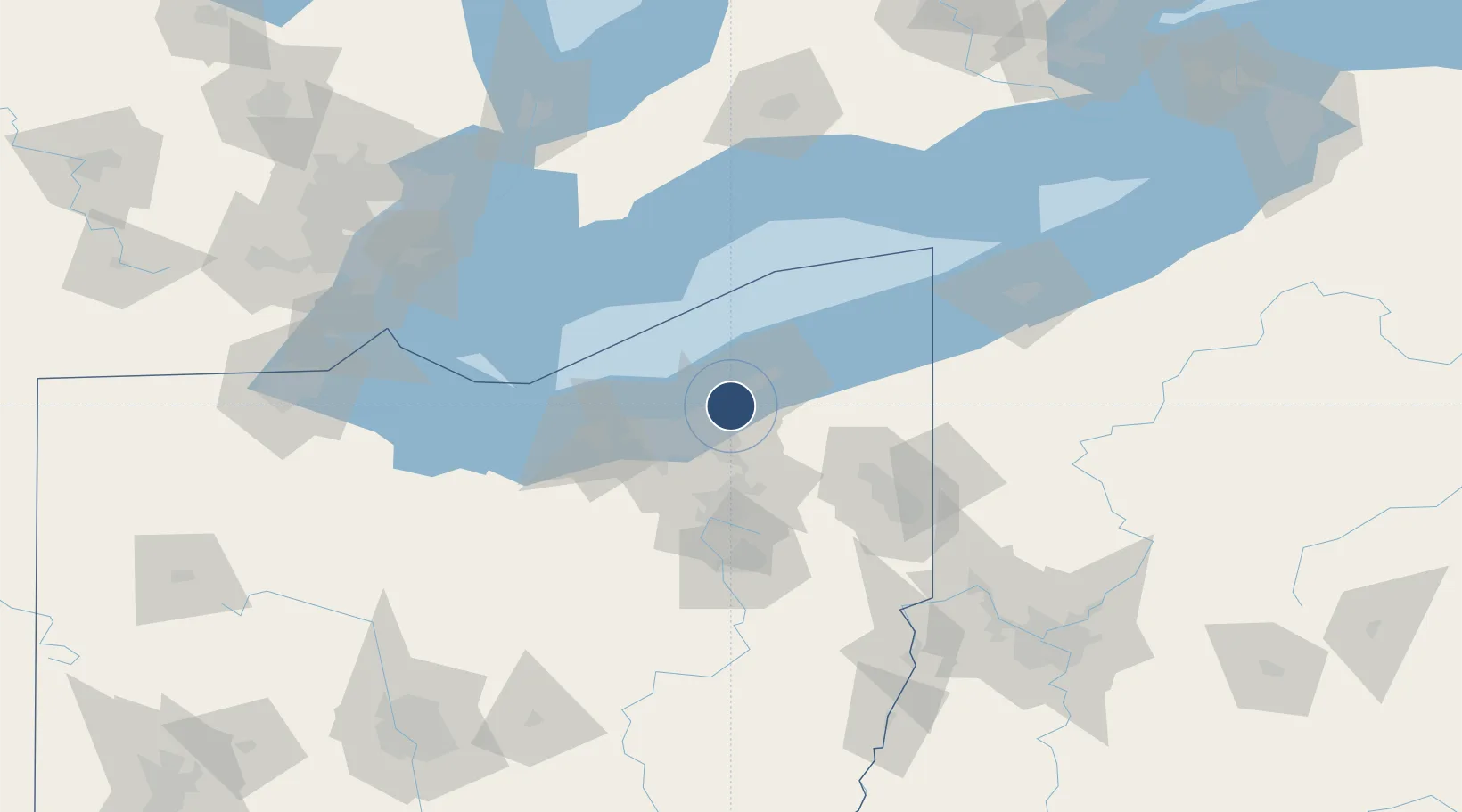
41.5651°, -81.4864°
5,502 ft
Longest runway
1
Runways
879 ft
Elevation

Runway & Layout

Cuyahoga County Airport runway & taxiway layout
Runway & taxiway layout — OpenStreetMap (ODbL) / OurAirports

Radio Frequencies

TWR
118.5 MHz
COUNTY TWR
CTAF
118.5 MHz
A/D
125.35 MHz
CLEVELAND APP/DEP
GCCD
121.85 MHz
GND/CLNC DEL
UNIC
122.95 MHz
UNICOM
OurAirports

Navaids

CXR VOR-DME Chardon 112.70 MHz
GF NDB Hogaf 521 kHz
OurAirports

Runways · 1

RunwayDimensions SurfaceTrue headingLit
06/24 5,502 × 100ft Asphalt 050°
OurAirports

Airport Specifications

IATA code
CGF
OurAirports
ICAO code
KCGF
OurAirports
Airport class
Medium airport
OurAirports
Scheduled service
No
OurAirports
Runway surface
Asphalt
OurAirports
Served city
Cleveland
OurAirports

Location

Location of KCGF
Natural Earth 10m (public domain) · Ohio · KCGF · 41.57, -81.49GoogleOSMYandex

Nearby Logistics Neighbours

Airports
  1. 1Burke Lakefront Airport17 km
  2. 2Cleveland Hopkins International Airport35 km
  3. 3Akron Fulton International Airport59 km
  4. 4Northeast Ohio Regional Airport70 km
  5. 5Akron Canton Regional Airport72 km
Nearest neighbours — logibook spatial index (haversine) over the source coordinates
Cities
  1. 1Mayfield, Cuyahoga5 km
  2. 2Wickliffe7 km
  3. 3Cleveland Heights8 km
  4. 4East Lake10 km
  5. 5Shaker Heights12 km
Nearest neighbours — logibook spatial index (haversine) over the source coordinates
Ports
  1. 1Cleveland21 km
  2. 2Fairport27 km
  3. 3Lorain59 km
  4. 4Ashtabula68 km
  5. 5Vermilion75 km
Nearest neighbours — logibook spatial index (haversine) over the source coordinates
Trade Zones
  1. 1FTZ No. 040 Cleveland31 km
  2. 2FTZ No. 181 Akron Canton71 km
  3. 3FTZ No. 247 Erie130 km
  4. 4Windsor - Essex Foreign Trade Zone152 km
  5. 5FTZ No. 210 St. Clair County165 km
Nearest neighbours — logibook spatial index (haversine) over the source coordinates
DatabookThe Record of Consolidated Knowledge
United States beyond logistics?
Browse databook

All Sources

AirportsOurAirports
Public domain
Portsthe NGA World Port Index
Public domain (US gov)
LocationsUN/LOCODE
UN/LOCODE — free
Trade Zonesthe World Bank SEZ database
CC BY 4.0
Trade ZonesOpen Zone Map
CC BY
InfrastructureOpenStreetMap
ODbL 1.0
← United States airports