Transport Functions
Port
Road
Multimodal
Hub Profile
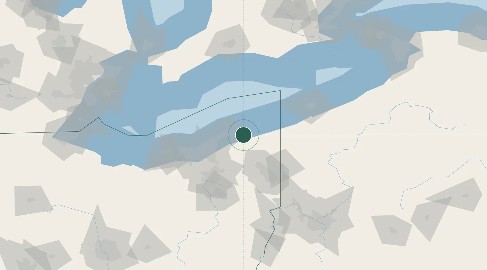
Place type
Populated place
Region
Ohio
Time zone
America/New_York
Elevation
387 m
Location
Nearby Logistics Neighbours
Cities
- 1Concord, Lake14 km
- 2Rock Creek17 km
- 3Fairport Harbor Village20 km
- 4Saybrook21 km
- 5Mesopotamia26 km
Airports
Trade Zones
- 1FTZ No. 040 Cleveland69 km
- 2FTZ No. 247 Erie92 km
- 3FTZ No. 181 Akron Canton99 km
- 4FTZ No. 033 Pittsburgh163 km
- 5FTZ No. 210 St. Clair County176 km
DatabookThe Record of Consolidated Knowledge
United States beyond logistics?