Medium airport · United States
Northeast Ohio Regional AirportKHZY
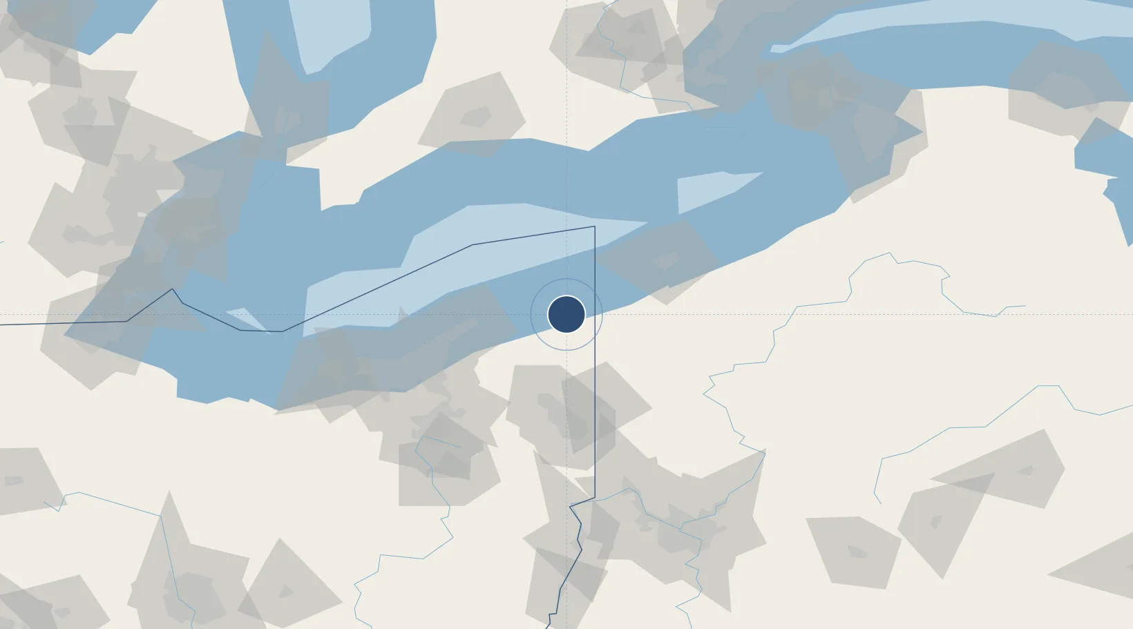
41.7780°, -80.6955°
5,900 ft
Longest runway
1
Runways
924 ft
Elevation
Runway & Layout

Radio Frequencies
ASOS
118.325 MHz
A/D
121 MHz
ERIE APP/DEP
RDO
115.2 MHz
CLEVELAND RDO
UNIC
122.8 MHz
CTAF/UNICOM
Runways · 1
| Runway | Dimensions | Surface | True heading | Lit |
|---|---|---|---|---|
| 09/27 | 5,900 × 100ft | Asphalt | 079° | ✓ |
Airport Specifications
IATA code
JFN
ICAO code
KHZY
Airport class
Medium airport
Scheduled service
No
Runway surface
Asphalt
Served city
Ashtabula
Location
Nearby Logistics Neighbours
Airports
Cities
- 1Saybrook18 km
- 2Rock Creek19 km
- 3Andover23 km
- 4Conneautville28 km
- 5Albion (Erie County)30 km
Trade Zones
- 1FTZ No. 247 Erie62 km
- 2FTZ No. 040 Cleveland101 km
- 3FTZ No. 181 Akron Canton126 km
- 4FTZ No. 033 Pittsburgh159 km
- 5FTZ No. 254 Jefferson County167 km
DatabookThe Record of Consolidated Knowledge
United States beyond logistics?