Transport Functions
Rail
Road
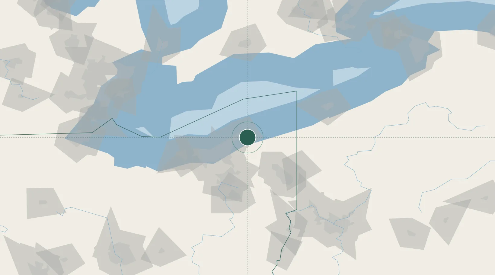
Hub Profile
Region
OH
Location
Nearby Logistics Neighbours
Cities
- 1Fairport Harbor Village10 km
- 2Thompson14 km
- 3East Lake20 km
- 4Wickliffe20 km
- 5Mayfield, Cuyahoga22 km
Airports
Trade Zones
- 1FTZ No. 040 Cleveland56 km
- 2FTZ No. 181 Akron Canton90 km
- 3FTZ No. 247 Erie105 km
- 4Windsor - Essex Foreign Trade Zone166 km
- 5FTZ No. 033 Pittsburgh169 km
DatabookThe Record of Consolidated Knowledge
United States beyond logistics?