Foreign Trade Zone · United States

FTZ No. 040 Cleveland Active
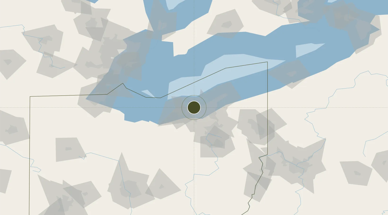
41.4974°, -81.8459°
10.8 km
Nearest port
9.5 km
Nearest airport

Gateway access

Nearest neighbours — logibook spatial index (haversine) over the source coordinates

Zone profile

Zone type
Foreign Trade Zone
Open Zone Map
Region
Ohio
Open Zone Map
Status
Active
Open Zone Map
Management
Public
Open Zone Map
Operator
Cleveland Cuyahoga County Port Authority
Open Zone Map
Legal framework
Foreign-Trade Zones Act
Open Zone Map

Location

Location of ozm-4791
Natural Earth 10m (public domain) · Ohio · ozm-4791 · 41.50, -81.85GoogleOSMYandex

Nearby Logistics Neighbours

Ports
  1. 1Cleveland11 km
  2. 2Lorain28 km
  3. 3Vermilion44 km
  4. 4Fairport54 km
  5. 5Huron60 km
Nearest neighbours — logibook spatial index (haversine) over the source coordinates
Airports
  1. 1Cleveland Hopkins International Airport10 km
  2. 2Burke Lakefront Airport14 km
  3. 3Cuyahoga County Airport31 km
  4. 4Akron Fulton International Airport60 km
  5. 5Kelleys Island Land Field71 km
Nearest neighbours — logibook spatial index (haversine) over the source coordinates
Cities
  1. 1Rocky River4 km
  2. 2Fairview Park7 km
  3. 3Grand Rapids11 km
  4. 4Ohio City12 km
  5. 5Olmsted Falls14 km
Nearest neighbours — logibook spatial index (haversine) over the source coordinates
Trade Zones
  1. 1FTZ No. 181 Akron Canton61 km
  2. 2Windsor - Essex Foreign Trade Zone134 km
  3. 3FTZ No. 008 Toledo141 km
  4. 4FTZ No. 070 Detroit149 km
  5. 5FTZ No. 210 St. Clair County159 km
Nearest neighbours — logibook spatial index (haversine) over the source coordinates
DatabookThe Record of Consolidated Knowledge
United States beyond logistics?
Browse databook

All Sources

Trade ZonesOpen Zone Map
CC BY
Portsthe NGA World Port Index
Public domain (US gov)
AirportsOurAirports
Public domain
LocationsUN/LOCODE
UN/LOCODE — free
← United States trade zones