Foreign Trade Zone · United States

FTZ No. 247 Erie Active
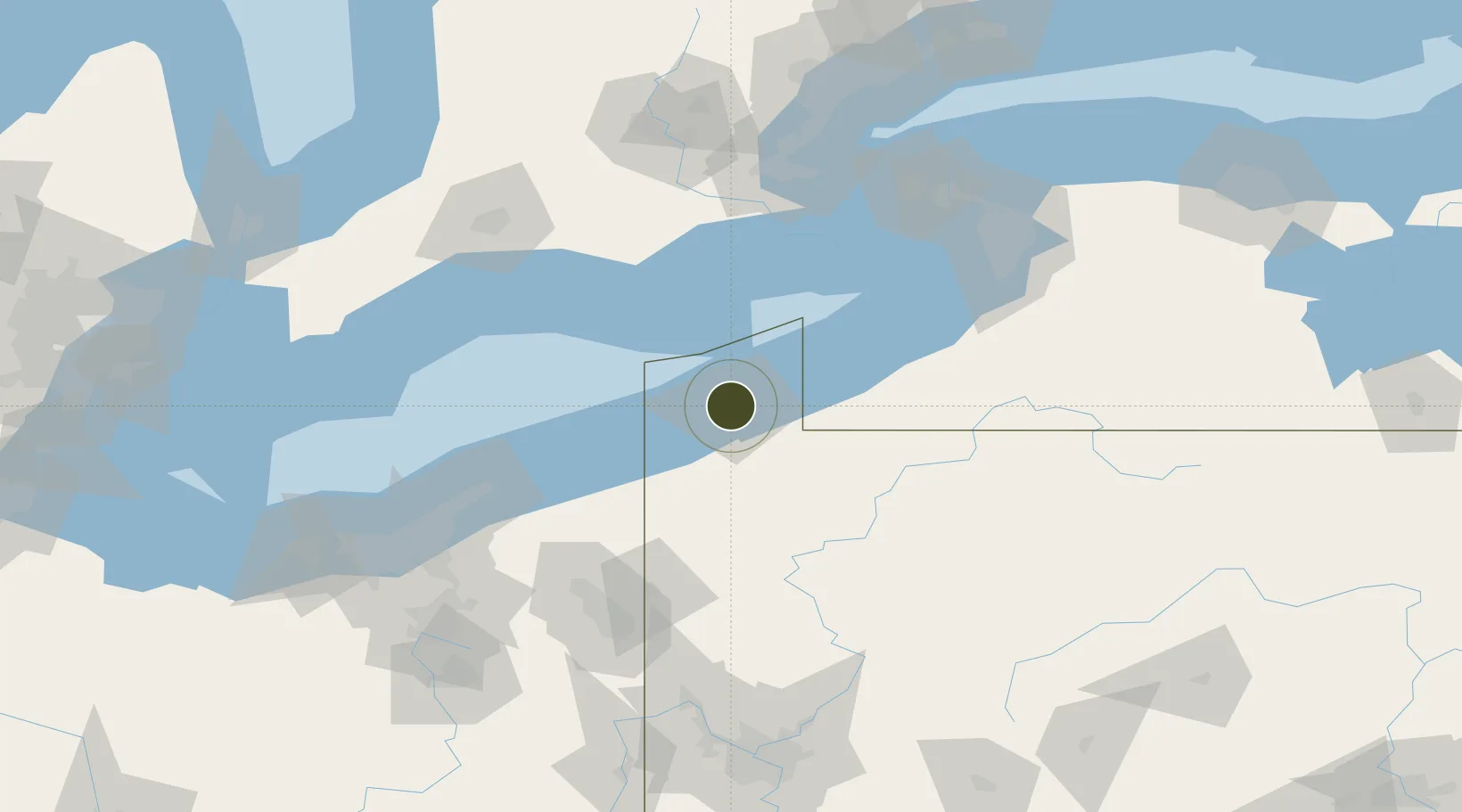
42.1154°, -80.1060°
3.9 km
Nearest port
6.7 km
Nearest airport

Gateway access

Nearest neighbours — logibook spatial index (haversine) over the source coordinates

Zone profile

Zone type
Foreign Trade Zone
Open Zone Map
Region
Pennsylvania
Open Zone Map
Status
Active
Open Zone Map
Management
Public
Open Zone Map
Operator
Erie-Western Pennsylvania Port Authority
Open Zone Map
Legal framework
Foreign-Trade Zones Act
Open Zone Map

Location

Location of ozm-4746
Natural Earth 10m (public domain) · Pennsylvania · ozm-4746 · 42.12, -80.11GoogleOSMYandex

Nearby Logistics Neighbours

Ports
  1. 1Erie4 km
  2. 2Conneaut40 km
  3. 3Ashtabula62 km
  4. 4Port Dover75 km
  5. 5Dunkirk76 km
Nearest neighbours — logibook spatial index (haversine) over the source coordinates
Airports
  1. 1Erie International Tom Ridge Field7 km
  2. 2Northeast Ohio Regional Airport62 km
  3. 3Chautauqua County-Jamestown Airport70 km
  4. 4Venango Regional Airport85 km
  5. 5Youngstown Warren Regional Airport106 km
Nearest neighbours — logibook spatial index (haversine) over the source coordinates
Cities
  1. 1Erie2 km
  2. 2Harborcreek14 km
  3. 3Fairview16 km
  4. 4Girard22 km
  5. 5Waterford23 km
Nearest neighbours — logibook spatial index (haversine) over the source coordinates
Trade Zones
  1. 1FTZ No. 023 Buffalo132 km
  2. 2FTZ No. 254 Jefferson County136 km
  3. 3Niagara Foreign Trade Zone139 km
  4. 4FTZ No. 034 Niagara County157 km
  5. 5FTZ No. 040 Cleveland160 km
Nearest neighbours — logibook spatial index (haversine) over the source coordinates
DatabookThe Record of Consolidated Knowledge
United States beyond logistics?
Browse databook

All Sources

Trade ZonesOpen Zone Map
CC BY
Portsthe NGA World Port Index
Public domain (US gov)
AirportsOurAirports
Public domain
LocationsUN/LOCODE
UN/LOCODE — free
← United States trade zones