Transport Functions
Road
Multimodal
Hub Profile
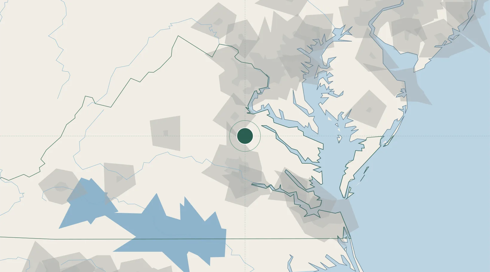
Place type
Populated place
Region
Virginia
Time zone
America/New_York
Elevation
30 m
Location
Nearby Logistics Neighbours
Cities
- 1Spotsylvania28 km
- 2King George32 km
- 3Champlain34 km
- 4Manquin40 km
- 5Rockville43 km
Ports
- 1Fredericksburg32 km
- 2Richmond54 km
- 3West Point73 km
- 4Piney Point74 km
- 5Solomons Island87 km
Airports
Trade Zones
DatabookThe Record of Consolidated Knowledge
United States beyond logistics?