Transport Functions
Port
Multimodal
Hub Profile
Place type
Provincial seat
Region
Virginia
Time zone
America/New_York
Elevation
94 m
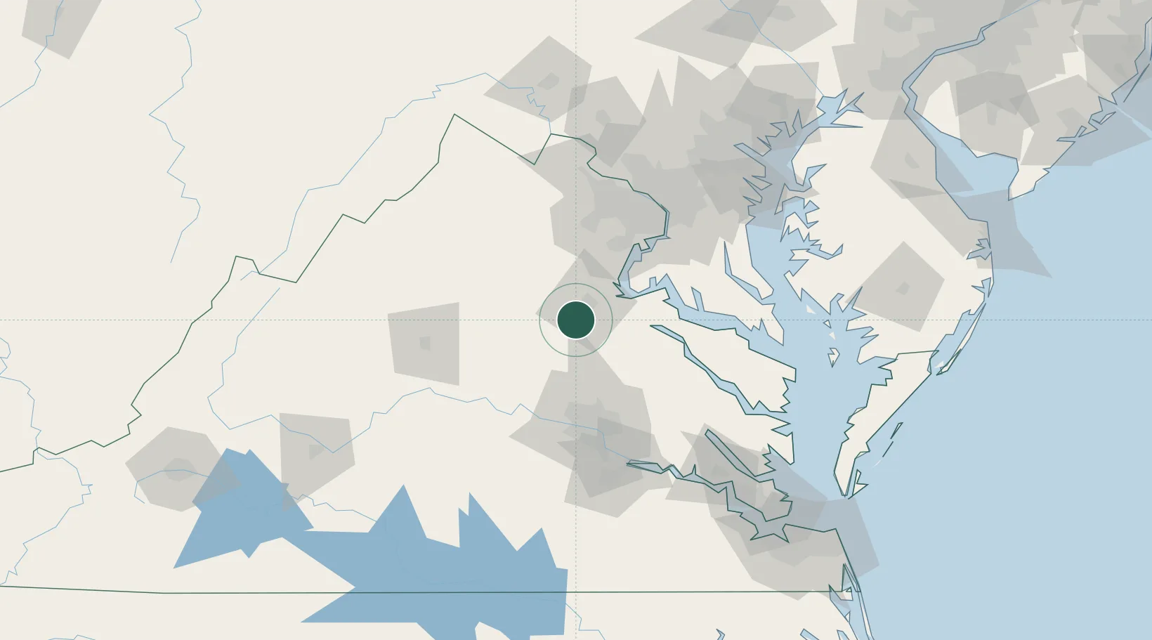
Location
Nearby Logistics Neighbours
Cities
- 1Parker17 km
- 2Milford28 km
- 3Mineral36 km
- 4King George36 km
- 5Stevensburg38 km
Ports
- 1Fredericksburg16 km
- 2Richmond76 km
- 3Alexandria82 km
- 4Washington D.C.88 km
- 5Piney Point92 km
Airports
Trade Zones
DatabookThe Record of Consolidated Knowledge
United States beyond logistics?