Transport Functions
Road
Multimodal
Hub Profile
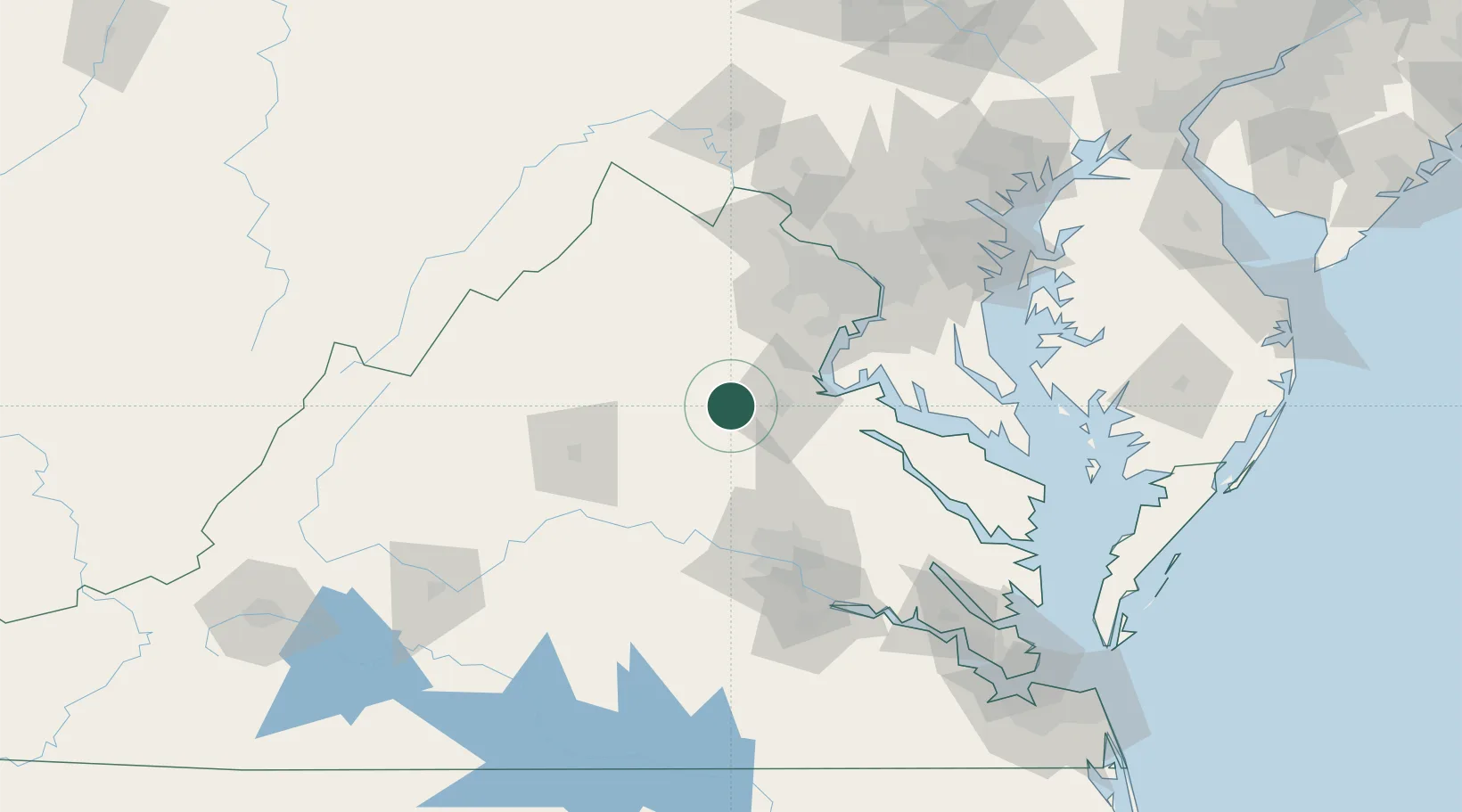
Place type
Populated place
Region
Virginia
Time zone
America/New_York
Elevation
130 m
Location
Nearby Logistics Neighbours
Cities
- 1Spotsylvania17 km
- 2Stevensburg21 km
- 3Elkwood26 km
- 4Rapidan26 km
- 5Brandy Station27 km
Ports
- 1Fredericksburg26 km
- 2Alexandria85 km
- 3Richmond88 km
- 4Washington D.C.90 km
- 5Piney Point108 km
Airports
Trade Zones
DatabookThe Record of Consolidated Knowledge
United States beyond logistics?