Transport Functions
Port
Road
Hub Profile
Place type
Populated place
Region
Massachusetts
Time zone
America/New_York
Elevation
8 m
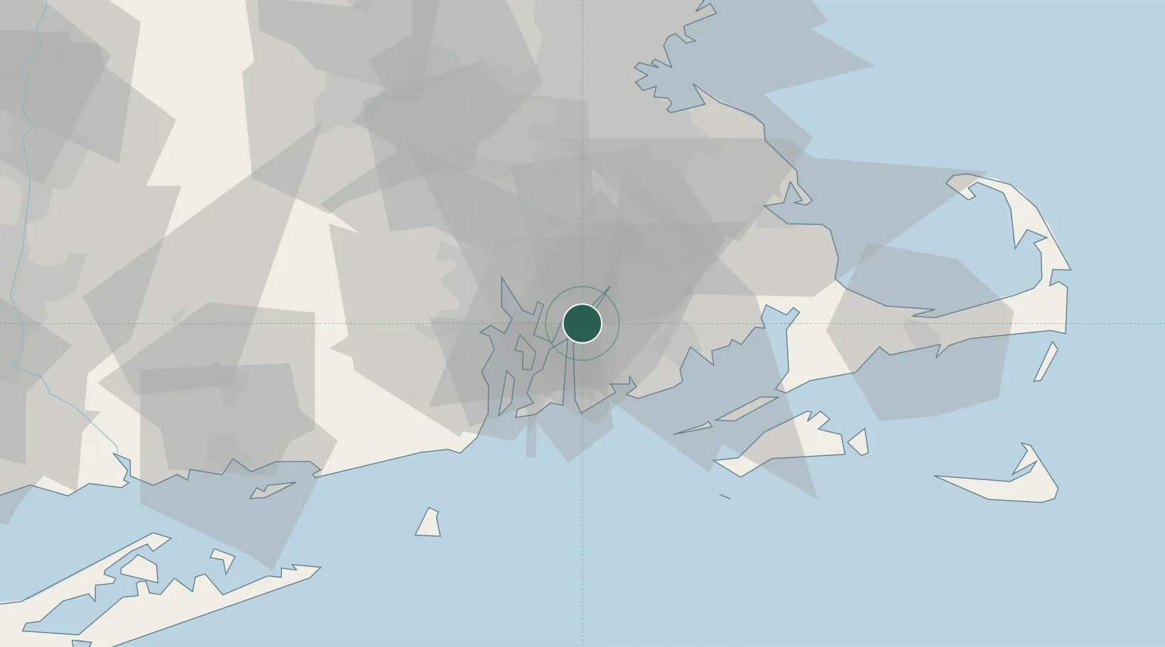
Location
Nearby Logistics Neighbours
Cities
- 1Fall River1 km
- 2Somerset4 km
- 3Swansea6 km
- 4Riverside16 km
- 5North Dartmouth20 km
Ports
- 1Fall River1 km
- 2Bristol8 km
- 3Tiverton8 km
- 4Davisville Depot20 km
- 5Providence21 km
Airports
Trade Zones
DatabookThe Record of Consolidated Knowledge
United States beyond logistics?