Medium airport · United States
Norwood Memorial AirportKOWD
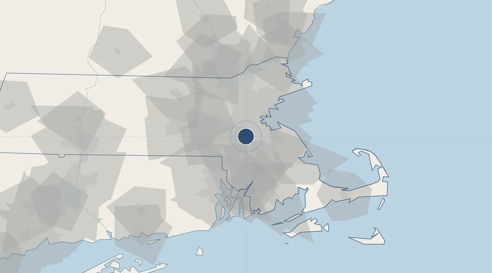
42.1905°, -71.1729°
4,007 ft
Longest runway
2
Runways
49 ft
Elevation
Runway & Layout

Radio Frequencies
ATIS
119.95 MHz
TWR
126 MHz
GND
121.8 MHz
CLD
121.8 MHz
CLNC DEL
APP
124.1 MHz
BOSTON APP
DEP
124.1 MHz
BOSTON DEP
CTAF
126 MHz
Runways · 2
| Runway | Dimensions | Surface | True heading | Lit |
|---|---|---|---|---|
| 17/35 | 4,007 × 100ft | Asphalt | 155° | ✓ |
| 10/28 | 3,995 × 75ft | Asphalt | 089° | — |
Airport Specifications
IATA code
OWD
ICAO code
KOWD
Airport class
Medium airport
Scheduled service
No
Runway surface
Asphalt
Served city
Norwood
Location
Nearby Logistics Neighbours
Airports
Cities
- 1East Walpole5 km
- 2Dover10 km
- 3South Walpole12 km
- 4Dorchester14 km
- 5Eliot14 km
Trade Zones
- 1FTZ No. 027 Boston15 km
- 2FTZ No. 105 Providence and North Kingstown48 km
- 3FTZ No. 028 New Bedford60 km
- 4FTZ No. 081 Portsmouth100 km
- 5FTZ No. 208 New London120 km
DatabookThe Record of Consolidated Knowledge
United States beyond logistics?