Transport Functions
Port
Road
Hub Profile
Place type
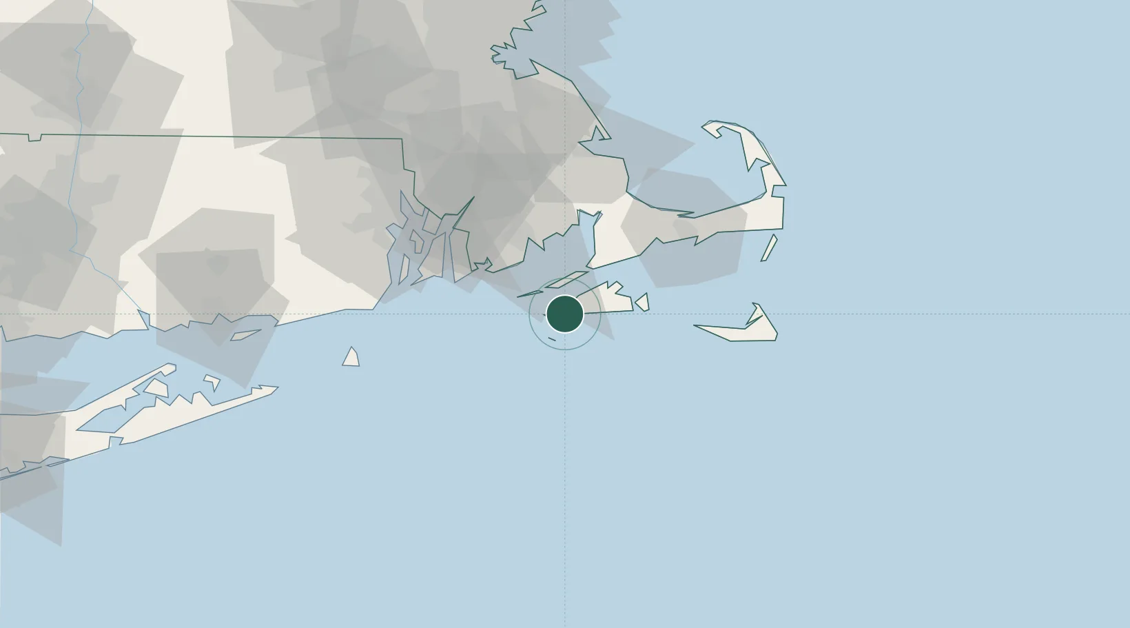
Populated place
Region
Massachusetts
Time zone
America/New_York
Elevation
6 m
Location
Nearby Logistics Neighbours
Cities
- 1Tisbury18 km
- 2Oak Bluffs20 km
- 3Edgartown21 km
- 4South Dartmouth29 km
- 5East Falmouth30 km
Ports
- 1Vineyard Haven18 km
- 2Woods Hole20 km
- 3Edgartown23 km
- 4Falmouth26 km
- 5New Bedford34 km
Airports
Trade Zones
- 1FTZ No. 028 New Bedford40 km
- 2FTZ No. 105 Providence and North Kingstown77 km
- 3FTZ No. 027 Boston111 km
- 4FTZ No. 208 New London111 km
- 5FTZ No. 071 Windsor Locks168 km
DatabookThe Record of Consolidated Knowledge
United States beyond logistics?