UN/LOCODE hub · United States
USTIH
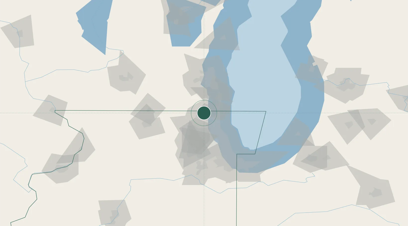
Antioch
42.4667°, -88.0833°
14,329
Population
2
Transport functions
Transport Functions
Road
Multimodal
Hub Profile
Place type
Populated place
Region
Illinois
Population
14,329
Time zone
America/Chicago
Elevation
239 m
Location
Nearby Logistics Neighbours
Cities
- 1Spring Grove9 km
- 2Lindenhurst10 km
- 3Ingleside12 km
- 4Russell15 km
- 5Pleasant Prairie15 km
Ports
- 1Waukegan25 km
- 2Kenosha25 km
- 3Great Lakes28 km
- 4Racine39 km
- 5Wilmette54 km
Airports
Trade Zones
- 1FTZ No. 292 Lake County23 km
- 2FTZ No. 041 Milwaukee66 km
- 3FTZ No. 022 Chicago73 km
- 4FTZ No. 176 Rockford95 km
- 5FTZ No. 152 Burns Harbor121 km
DatabookThe Record of Consolidated Knowledge
United States beyond logistics?