Seaport · United States
Dutch HarborUSDUT
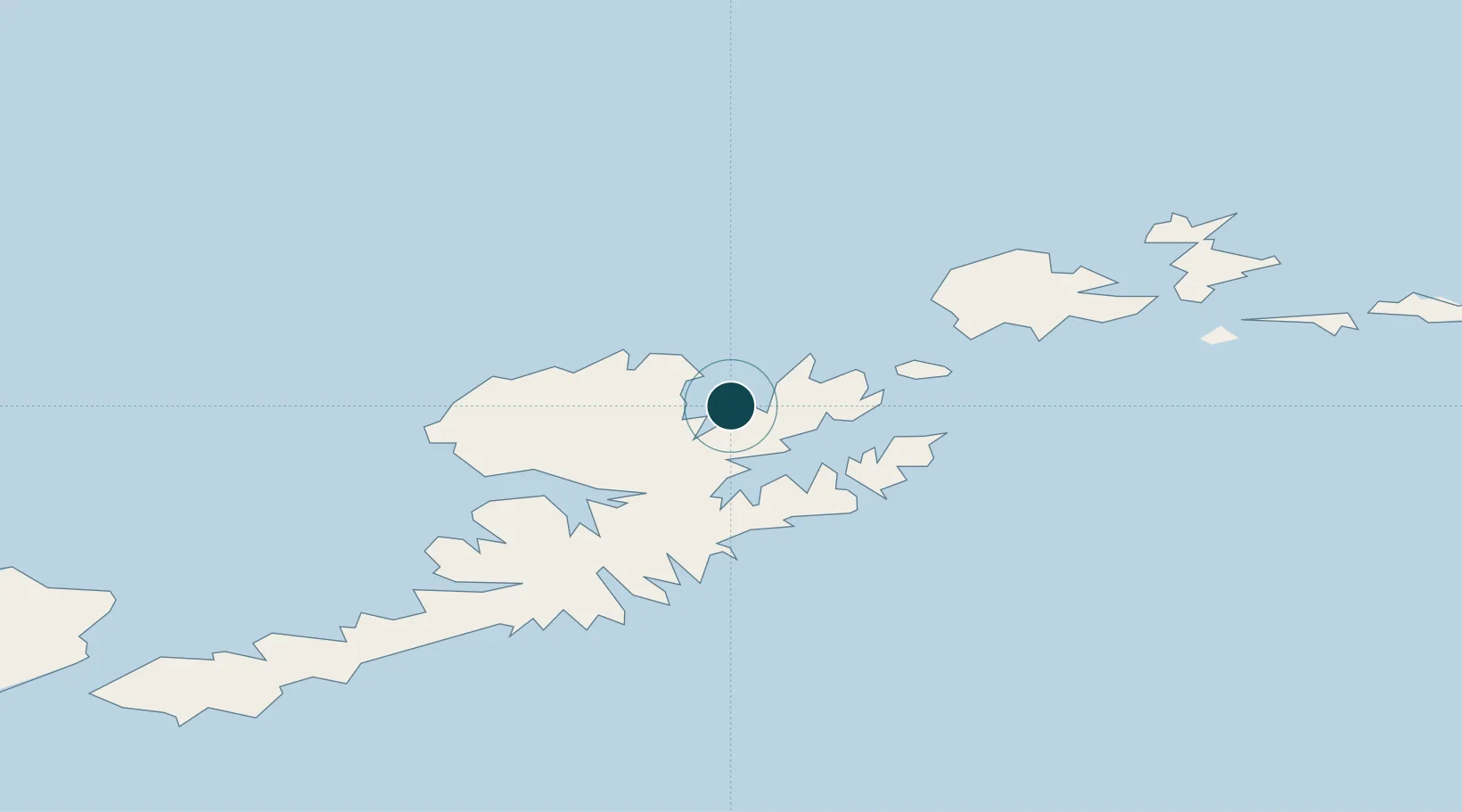
53.9000°, -166.5333°
12.5 m
Channel depth
2
Container terminals
42.0
Port liner connectivity
Channel & Berth Profile
Pilotage, Tugs & Services
Pilotage compulsoryYES
Pilotage availableYES
Tug assistanceNO
Shore powerYES
Potable waterYES
Diesel bunkersYES
MedicalYES
Garbage disposalYES
Facilities & Capabilities
Container—
Ro-Ro—
Liquid bulk—
Dry bulk—
Oil terminal—
Break bulk—
Dry dock—
Repairs—
BunkeringYES
Rail link—
Dangerous cargo—
ISPS security—
Harbour Specifications
Harbour size
Small
Harbour type
Coastal (Natural)
Shelter
Poor
Water body
Bering Sea; North Pacific Ocean
Tidal range
0.6 m
Pilotage
Yes
Liner Connectivity
42
PLSCI
Port Liner Shipping Connectivity Index for Dutch Harbor, as published by UNCTAD for the latest available quarter. Higher values indicate stronger scheduled liner-shipping integration.
Shown relative to the highest per-port PLSCI in the dataset (1,657.9).
Location
Container Terminals · 2
APL DUTCH HARBOR
APL APL LIMITED
UNALASKA MARINE CENTER (UMC)
UMC DEPARTMENT OF PORTS AND HARBORS
Nearby Logistics Neighbours
Ports
- 1Unalaska4 km
- 2Akutan Harbor55 km
- 3Cold Bay286 km
- 4King Cove301 km
- 5Sand Point418 km
Cities
- 1Lenard Harbour298 km
- 2Burnopfield366 km
- 3Mitchem599 km
- 4Achau646 km
- 5Yoke Bay669 km
Airports
- 1Tom Madsen (Dutch Harbor) Airport1 km
- 2Akutan Seaplane Base Heliport56 km
- 3Akutan Airport67 km
- 4Nikolski Air Station187 km
- 5False Pass Airport228 km
Trade Zones
- 1FTZ No. 232 Kodiak897 km
- 2FTZ No. 160 Anchorage1279 km
- 3FTZ No. 108 Valdez1439 km
- 4FTZ No. 195 Fairbanks1605 km
- 5PrInce George Logistics Park2822 km
DatabookThe Record of Consolidated Knowledge
United States beyond logistics?