UN/LOCODE hub · United Kingdom
GBMCE

Mitchem

51.6833°, -174.6667°
1
Transport functions

Transport Functions

Multimodal
UN/LOCODE

Hub Profile

Region
SRY
GeoNames

Location

Location of GBMCE
Natural Earth 10m (public domain) · SRY · GBMCE · 51.68, -174.67GoogleOSMYandex

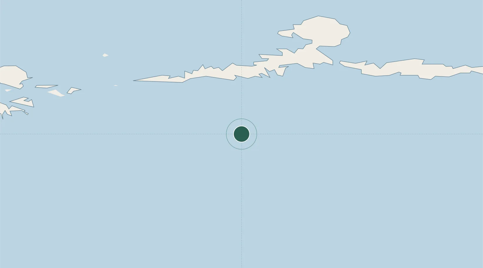
Nearby Logistics Neighbours

Cities
  1. 1Yoke Bay101 km
  2. 2Kuluk Bay132 km
  3. 3Tanaga Bay232 km
  4. 4Burnopfield323 km
  5. 5Dutch Harbor599 km
Nearest neighbours — logibook spatial index (haversine) over the source coordinates
Ports
  1. 1Adak Naval Air Station137 km
  2. 2Unalaska598 km
  3. 3Dutch Harbor599 km
  4. 4Akutan Harbor653 km
  5. 5Cold Bay882 km
Nearest neighbours — logibook spatial index (haversine) over the source coordinates
Airports
  1. 1Atka Airport68 km
  2. 2Adak Airport138 km
  3. 3Nikolski Air Station419 km
  4. 4Tom Madsen (Dutch Harbor) Airport599 km
  5. 5St George Airport634 km
Nearest neighbours — logibook spatial index (haversine) over the source coordinates
Trade Zones
  1. 1FTZ No. 232 Kodiak1490 km
  2. 2FTZ No. 160 Anchorage1838 km
  3. 3FTZ No. 108 Valdez2010 km
  4. 4FTZ No. 195 Fairbanks2121 km
  5. 5PrInce George Logistics Park3420 km
Nearest neighbours — logibook spatial index (haversine) over the source coordinates
DatabookThe Record of Consolidated Knowledge
United Kingdom beyond logistics?
Browse databook

All Sources

LocationsUN/LOCODE
UN/LOCODE — free
Portsthe NGA World Port Index
Public domain (US gov)
AirportsOurAirports
Public domain
Trade Zonesthe World Bank SEZ database
CC BY 4.0
Trade ZonesOpen Zone Map
CC BY
← United Kingdom locations