Medium airport · United States
Tom Madsen (Dutch Harbor) AirportPADU
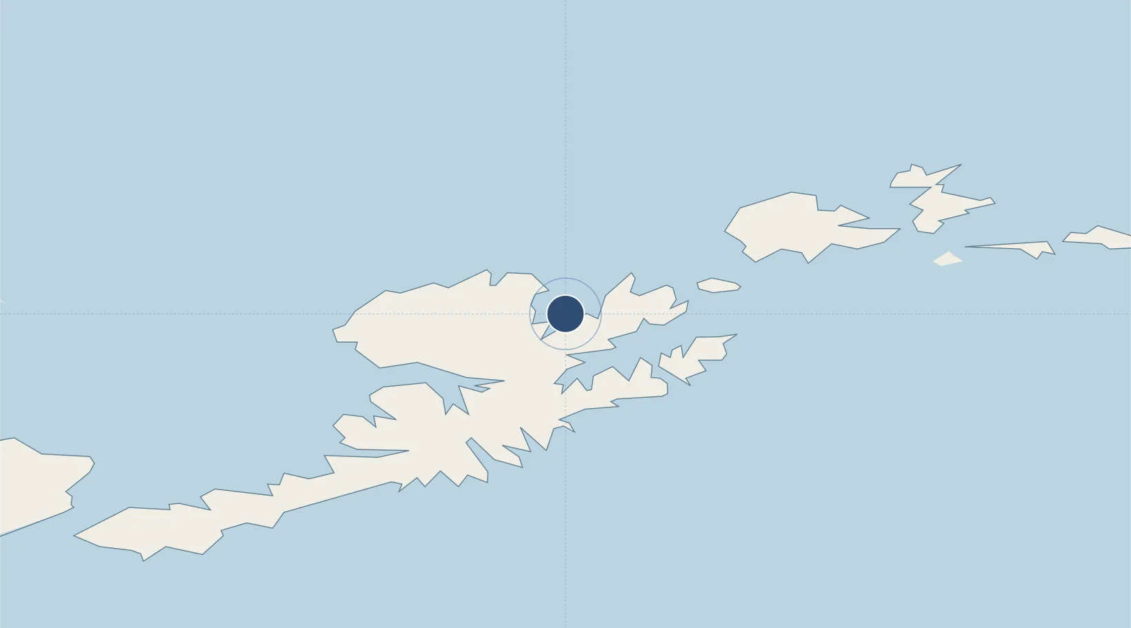
53.8988°, -166.5450°
4,500 ft
Longest runway
1
Runways
22 ft
Elevation
Runway & Layout

Radio Frequencies
AWOS
125.8 MHz
AWOS 3
CTAF
122.6 MHz
CNTR
121.4 MHz
ANCHORAGE CNTR
FSS
122.6 MHz
COLD BAY RDO
MISC
129.5 MHz
DUTCH WX
Navaids
DUT NDB-DME Dutch Harbor 0.28 MHz
Runways · 1
| Runway | Dimensions | Surface | True heading | Lit |
|---|---|---|---|---|
| 13/31 | 4,500 × 100ft | Asphalt | 136° | ✓ |
Airport Specifications
IATA code
DUT
ICAO code
PADU
Airport class
Medium airport
Scheduled service
Yes
Runway surface
Asphalt
Served city
Unalaska
Location
Nearby Logistics Neighbours
Airports
- 1Akutan Seaplane Base Heliport57 km
- 2Akutan Airport67 km
- 3Nikolski Air Station186 km
- 4False Pass Airport229 km
- 5Cold Bay Airport286 km
Cities
- 1Dutch Harbor1 km
- 2Lenard Harbour299 km
- 3Burnopfield365 km
- 4Mitchem599 km
- 5Achau646 km
Ports
- 1Dutch Harbor1 km
- 2Unalaska4 km
- 3Akutan Harbor55 km
- 4Cold Bay287 km
- 5King Cove302 km
Trade Zones
- 1FTZ No. 232 Kodiak898 km
- 2FTZ No. 160 Anchorage1279 km
- 3FTZ No. 108 Valdez1440 km
- 4FTZ No. 195 Fairbanks1606 km
- 5PrInce George Logistics Park2822 km
DatabookThe Record of Consolidated Knowledge
United States beyond logistics?