Runway & Layout

Airport Specifications
Airport class
Heliport
Scheduled service
Yes
Served city
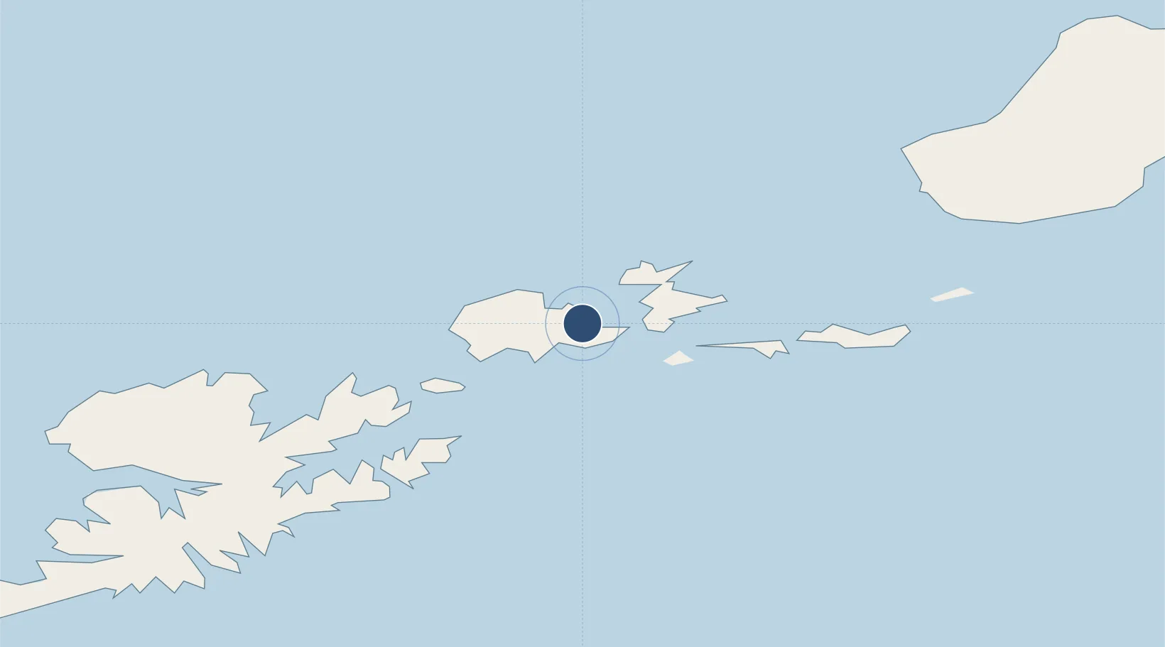
Akutan
Location
Nearby Logistics Neighbours
Airports
- 1Akutan Airport11 km
- 2Tom Madsen (Dutch Harbor) Airport57 km
- 3False Pass Airport172 km
- 4Cold Bay Airport230 km
- 5Nikolski Air Station242 km
Cities
- 1Dutch Harbor56 km
- 2Lenard Harbour242 km
- 3Burnopfield413 km
- 4Achau649 km
- 5Mitchem655 km
Ports
- 1Akutan Harbor1 km
- 2Dutch Harbor56 km
- 3Unalaska58 km
- 4Cold Bay231 km
- 5King Cove245 km
Trade Zones
- 1FTZ No. 232 Kodiak841 km
- 2FTZ No. 160 Anchorage1226 km
- 3FTZ No. 108 Valdez1385 km
- 4FTZ No. 195 Fairbanks1557 km
- 5PrInce George Logistics Park2767 km
DatabookThe Record of Consolidated Knowledge
United States beyond logistics?