Small airport · United States
Akutan AirportPAUT
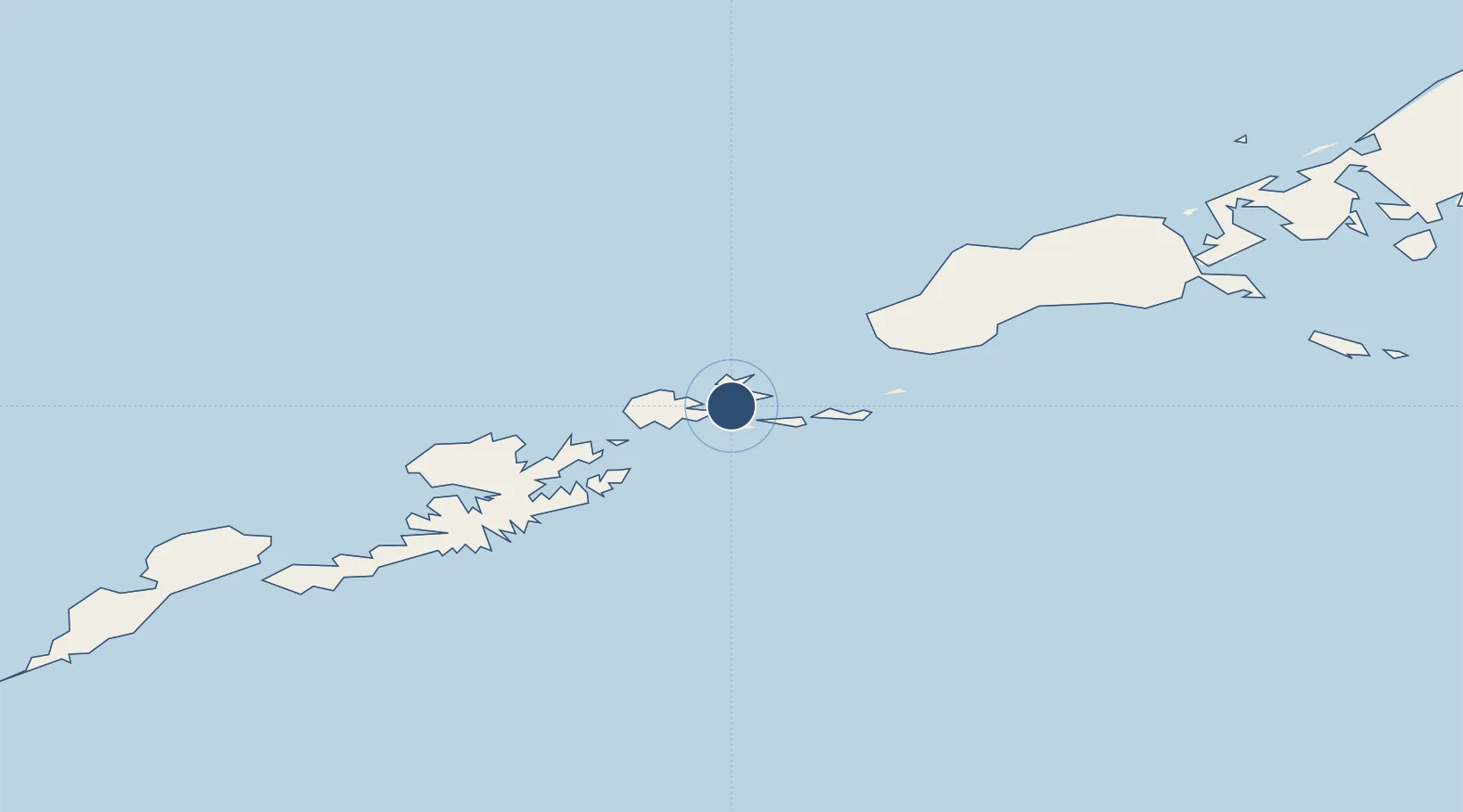
54.1446°, -165.6043°
4,500 ft
Longest runway
1
Runways
133 ft
Elevation
Runway & Layout

Runways · 1
| Runway | Dimensions | Surface | True heading | Lit |
|---|---|---|---|---|
| 09/27 | 4,500 × 75ft | Asphalt | 099° | ✓ |
Airport Specifications
IATA code
KQA
ICAO code
PAUT
Airport class
Small airport
Scheduled service
Yes
Runway surface
Asphalt
Served city
Akutan
Location
Nearby Logistics Neighbours
Airports
- 1Akutan Seaplane Base Heliport11 km
- 2Tom Madsen (Dutch Harbor) Airport67 km
- 3False Pass Airport162 km
- 4Cold Bay Airport220 km
- 5King Cove Airport241 km
Cities
- 1Dutch Harbor67 km
- 2Lenard Harbour232 km
- 3Burnopfield424 km
- 4Achau646 km
- 5Mitchem666 km
Ports
- 1Akutan Harbor13 km
- 2Dutch Harbor67 km
- 3Unalaska68 km
- 4Cold Bay221 km
- 5King Cove235 km
Trade Zones
- 1FTZ No. 232 Kodiak831 km
- 2FTZ No. 160 Anchorage1217 km
- 3FTZ No. 108 Valdez1376 km
- 4FTZ No. 195 Fairbanks1549 km
- 5PrInce George Logistics Park2756 km
DatabookThe Record of Consolidated Knowledge
United States beyond logistics?