UN/LOCODE hub · United States
USYOK

Yoke Bay

52.0167°, -176.0333°
1
Transport functions

Transport Functions

Port
UN/LOCODE

Hub Profile

Region
AK
GeoNames

Location

Location of USYOK
Natural Earth 10m (public domain) · AK · USYOK · 52.02, -176.03GoogleOSMYandex

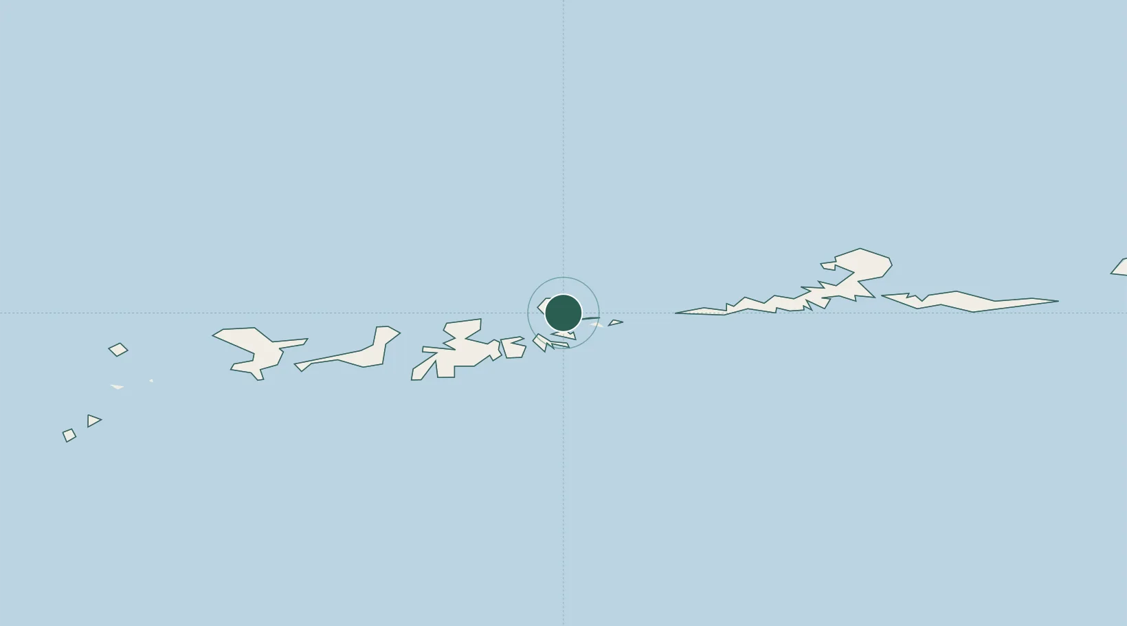
Nearby Logistics Neighbours

Cities
  1. 1Kuluk Bay40 km
  2. 2Mitchem101 km
  3. 3Tanaga Bay141 km
  4. 4Burnopfield353 km
  5. 5Castle Island579 km
Nearest neighbours — logibook spatial index (haversine) over the source coordinates
Ports
  1. 1Adak Naval Air Station44 km
  2. 2Unalaska668 km
  3. 3Dutch Harbor669 km
  4. 4Akutan Harbor722 km
  5. 5Cold Bay946 km
Nearest neighbours — logibook spatial index (haversine) over the source coordinates
Airports
  1. 1Adak Airport44 km
  2. 2Atka Airport127 km
  3. 3Nikolski Air Station497 km
  4. 4St George Airport654 km
  5. 5Tom Madsen (Dutch Harbor) Airport669 km
Nearest neighbours — logibook spatial index (haversine) over the source coordinates
Trade Zones
  1. 1FTZ No. 232 Kodiak1549 km
  2. 2FTZ No. 160 Anchorage1880 km
  3. 3FTZ No. 108 Valdez2056 km
  4. 4FTZ No. 195 Fairbanks2147 km
  5. 5PrInce George Logistics Park3490 km
Nearest neighbours — logibook spatial index (haversine) over the source coordinates
DatabookThe Record of Consolidated Knowledge
United States beyond logistics?
Browse databook

All Sources

LocationsUN/LOCODE
UN/LOCODE — free
Portsthe NGA World Port Index
Public domain (US gov)
AirportsOurAirports
Public domain
Trade Zonesthe World Bank SEZ database
CC BY 4.0
Trade ZonesOpen Zone Map
CC BY
← United States locations