Small airport · United States
Nikolski Air StationPAKO
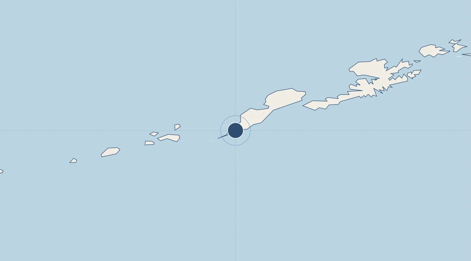
52.9416°, -168.8495°
3,512 ft
Longest runway
1
Runways
77 ft
Elevation
Runway & Layout

Runways · 1
| Runway | Dimensions | Surface | True heading | Lit |
|---|---|---|---|---|
| 08/26 | 3,512 × 135ft | GRVL | 090° | — |
Airport Specifications
IATA code
IKO
ICAO code
PAKO
Airport class
Small airport
Scheduled service
Yes
Runway surface
GRVL
Served city
Nikolski
Location
Nearby Logistics Neighbours
Airports
- 1Tom Madsen (Dutch Harbor) Airport186 km
- 2Akutan Seaplane Base Heliport242 km
- 3Akutan Airport253 km
- 4Atka Airport371 km
- 5St George Airport408 km
Cities
- 1Dutch Harbor186 km
- 2Burnopfield254 km
- 3Mitchem419 km
- 4Lenard Harbour485 km
- 5Yoke Bay497 km
Ports
- 1Unalaska185 km
- 2Dutch Harbor187 km
- 3Akutan Harbor241 km
- 4Cold Bay473 km
- 5King Cove487 km
Trade Zones
- 1FTZ No. 232 Kodiak1084 km
- 2FTZ No. 160 Anchorage1462 km
- 3FTZ No. 108 Valdez1624 km
- 4FTZ No. 195 Fairbanks1779 km
- 5PrInce George Logistics Park3002 km
DatabookThe Record of Consolidated Knowledge
United States beyond logistics?