Channel & Berth Profile
Pilotage, Tugs & Services
Pilotage compulsoryYES
Pilotage availableYES
Shore powerYES
Potable waterYES
Diesel bunkersYES
MedicalYES
Garbage disposalYES
Facilities & Capabilities
Container—
Ro-Ro—
Liquid bulk—
Dry bulk—
Oil terminal—
Break bulk—
Dry dock—
RepairsNO
BunkeringYES
Rail link—
Dangerous cargo—
ISPS security—
Harbour Specifications
Harbour size
Very Small
Harbour type
Coastal (Breakwater)
Shelter
Fair
Water body
North Pacific Ocean
Tidal range
1.5 m
Overhead limit
No
Pilotage
Yes
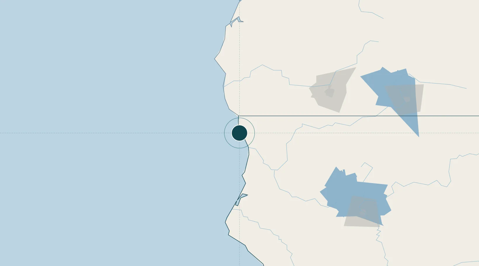
Location
Nearby Logistics Neighbours
Ports
- 1Samoa104 km
- 2Eureka106 km
- 3Port Orford112 km
- 4Fields Landing115 km
- 5Bandon153 km
Cities
- 1Harbor34 km
- 2Selma76 km
- 3McKinleyville89 km
- 4Samoa108 km
- 5Port Orford114 km
Airports
Trade Zones
- 1FTZ No. 248 Eureka105 km
- 2FTZ No. 132 Coos County180 km
- 3FTZ No. 143 West Sacramento419 km
- 4FTZ No. 255 Washington County427 km
- 5FTZ No. 045 Portland437 km
DatabookThe Record of Consolidated Knowledge
United States beyond logistics?